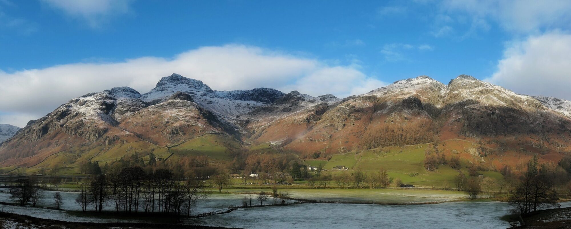
Trekking in Nepal. From Lukla to Everest Base Camp and then a taste of ‘real’ Nepal walking out to Jiri. Click on the walk to read the post or use the interactive map to see the route.
All the hills of the Central Fells listed in height order with the eleven walks that took me over them and interactive map showing hill location and route. Click on the hill or the walk to read the post. Scroll down to use the interactive map.
‘If I should bow my head let it be to a high mountain’ Maori Proverb
I’m back in Great Langdale just a couple of weeks after my previous visit when I was fortunate to walk the Langdale Pikes in glorious weather. The weather isn’t so good today but it’s dry and the tops are clear which is what matters. I’m heading for a group of hills that form an outer circle around the rather compact Pikes, Blea Rigg, Sergeant Man, High Raise and Thunacar Knott. And in visiting these, I’ll also bring to a conclusion my journey through Wainwright’s Book Three, The Central Fells.
All the hills of the Far Eastern Fells listed in height order with the sixteen walks that took me over them and interactive map showing hill location and route. Click on the hill or the walk to read the post. Scroll down to use the interactive map.
Just as autumn seemed to have arrived, summer sunshine and warmth has returned for one last hurrah and I’m fortunate to be in Great Langdale to enjoy it. The Langdale Pikes are an iconic group of hills whose relative accessibility, moderate height and interesting routes have made them emblematic of all that is attractive about the English Lake District. From the moment their shapely and unique outline is glimpsed across Windermere on the road to Ambleside you know you have entered into the heart of Lakeland with its mountains, lakes and rivers. It’s time to relax, breathe out, and for a while leave your workaday stresses behind and allow your heart to be stirred in anticipation of adventures that lie ahead. And today, in the sunshine, I’m walking the Langdale Pikes.
My last visit to Ullscarf was thwarted when the clouds which had been hovering above it all day decided to lower onto the summit plateau just as I reached it. As I have a rule that I will be able to see the view from each top on my journey through the Wainwright’s this unfortunately meant a return visit. At least going up again gives me a chance to try a different route and today I’ll be ascending via Harrop Tarn and returning down the Wythburn valley which means I don’t have to walk back on myself.
All the hills of the Eastern Fells listed in height order with the sixteen walks that took me over them and interactive map showing hill location and route. Click on the hill or the walk to read the post. Scroll down to use the interactive map.
The Isle of Arran is often referred to as ‘Scotland in Miniature’ because the north of the island is mountainous whereas the south is more pastoral. We’ve brought the van over from Ardrossan and are enjoying a mini road trip around the island, mini because Arran is only twenty miles long and nine miles wide. But what it lacks in acreage it more than makes up for in natural scenery and human history with an abundance of beaches, waterfalls and wildlife, castles, distillery’s and ancient monuments.
The Arches National Park is like no place I have ever walked in before. Set high on the desert plateau of Utah, there is little vegetation and the sparse trees are stunted and gnarled by the harsh environment. It’s a raw and exposed place, baking in the day and freezing at night. It is literally the Wild West. What draws visitors to the park are the natural sandstone arches, thousands of them. Fifteen million years of erosion created them and we’re here today to walk among them. It’s as different a landscape to the UK as chalk is to cheese.