

Today we have the third and final border crossing of our Tour du Mont Blanc when we say goodbye to the forests of Switzerland and cross back into France at Col de Balme. It’s a Grand Old Duke of York walking day, a long steep walk up followed by a long steep walk down. Hill walking pared down to its simplest form, you’re going up or you’re going down, just keep putting one foot in front of the other and don’t forget to breathe. The reward for all this effort is we’ll get our first sight of Mont Blanc from the French side and we’ll also see the Chamonix valley, the end of our journey for the first time.

It wasn’t a great stay at Auberge du Mont Blanc, maybe our expectations were too high after the brilliant Bon Abri but at least Steve and I got a room to ourselves. We had to share a double bed but if it’s good enough for Morecambe and Wise it’s good enough for us, and I have known him for over forty years. There was also a fantastic view of Trient’s pink church, Eglise Rose out of the window. It’s a misty morning with low cloud hovering but the rain of yesterday has gone and by the time we switch into gear the day looks increasingly promising.

Leaving Trient It’s a pleasant walk up the valley past Le Praillon to Le Peuty. Lots of our fellow travellers stopped at Refuge Le Peuty last night but the nineteen bed dorm put me off. Some meadows are crossed and then the hard miles begin with the trail tilting skyward and following a multi zig zag path steeply up through woodland.

Ever upward leads the path but the accumulated fitness of ten days walking means our legs and lungs are now well attuned to climbing over three thousand feet every day. The ascent seems to go on forever but the zig zags mean the angle is manageable and steady progress is made with occasional glimpses through the trees.


Eventually the incline eases, the trees are left behind and views open up back down the valley and ahead to Col De Balme. The col is in cloud although it is clearing but is still far above our heads.


Upwards we climb and the cloud clears away from the col revealing our first sight of the refuge. The climbing only stops when we are virtually outside the entrance of the solidly built and red shuttered Refuge du Col de Balme. The refuge sits right on top of the col it is named after, just metres inside Switzerland.


After a tough climb up with the refuge teasingly in view from way down the valley it is with some relief that we finally arrive. The wind has got up and at 7,000ft, despite the sunshine it is bone chilling so for the first time on the walk we head inside to eat lunch which turns out to be a very agreeable vegetable soup with plenty of fresh bread.


The TMB has numerous ‘variants’ off the main route and the Col de Balme is no exception with the option of a high level route over the Aiguille des Posettes or a low level route down the valley via Le Tour. With the wind as strong as it is we opt for the less attractive but arguably safer low level route.

It’s a bit of a wrench to leave the warmth and comfort of the refuge but I know once we are off the col the wind will drop and it’s downhill all the way to Tre Le Champ. Leaving the refuge we cross into France and then see a sight that stirs our spirits.


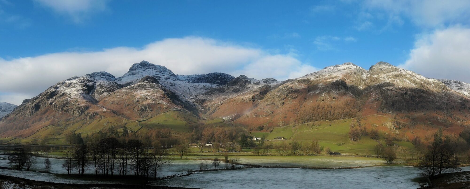
Up to now we have only seen Mont Blanc from the Italian side, which revealed a mountain of sheer rock faces and dizzying arêtes and spires. Before us lies the Mont Blanc of the French side, a huge white dome of snow and ice dominating the Chamonix valley that stretches out underneath it. It’s in and out of cloud today but is still majestic and this will be our view for the next two days.

Suitably inspired and heartened by our fresh encounter with the mountain we are circumambulating we start the downhill tramp towards Le Tour. Although steep, it’s easy walking on a good path and the views ahead of us down the Chamonix valley, Mont Blanc on the left and the spires of the Aiguille Rouges on the right are superb. The wind has dropped and the sun is out with a little bit of cloud cover, making it perfect walking weather.

At Charamillon ski station we take a break to use their facilities. We skip the opportunity of taking the ski lift and continue down what becomes an increasingly man made environment with ugly gravel tracks and ski lift paraphernalia all around us. At Le Tour, the highest village in the Chamonix valley, we arrive at the metalled road.

We follow the road down to Montroc which has a train/tram station then a bit of fiddly route finding through some woods takes us to our accommodation at the quirky and hobbit like wooden lodge of Auberge La Boêrne.

Sitting in the sunshine on it’s extensive patio are Luca and Will the young Americans, Jay, a fellow Brit we met at La Fouly along with three Israelis, an Australian mother and daughter and another American all of whom we have criss crossed on the trail at various points. As we get our first cold beer the two American girls we met at Rifugio Bonatti turn up. The only ones missing out of our group of fellow travellers are Kyle and Jo who couldn’t get into the refuge and are stopping further down the road.

After eating lunch inside for the first time on the col, we now get to eat dinner outside for the first time. It’s a lovely, balmy summers evening and we enjoy a very convivial dinner on the patio in the company of strangers who have become friends through joint adventure. As we talk the sun slowly goes down over the Chamonix valley, turning the white snow dome of Mont Blanc honey yellow and casting shadows onto the crevices and pinnacles of the Grandes Jorasses. The tower on the Aiguille du Midi looks like a rocket about to launch off into the gloaming.
To Read More About My Hike Along The TMB Click Here

Route Map, Walk Stats, Geolocated Picture Gallery and 3D Flyover Video Below.
Click ‘Learn more’ on the map. Note: you won’t see the map if reading in WordPress reader but click on the little world at the top of the page to view it on the browser.
Such a beautiful day and the clods lifted enough to see the snowy white peak of Mt Blanc. Great day! Maggie
Thank you Maggie, it was 😀
What an awe inspiring mountain area, Jim. The moment you wander clear of the trees and the view is revealed, what a perfect moment!
Many thanks for sharing this adventure of a walk.
Hanna
Thank you Hanna, it’s my pleasure 😀
So beautiful there. What an incredible landscape.
Thank you Ruth, it certainly is ⛰️
The scenery is stunning, Jim, but some of the terrain looks really rough underfoot. I’m plodding along behind you, trying to keep up the smile.
There were rougher paths on other sections of the walk but it was quite a steep day, yes the scenery makes it all worthwhile ⛰️
🤗💙
It looks like we have a common interest in walking! Thanks for following my blog. I’ve just tried to ‘follow’ or Subscribe to your site but the box you mentioned didn’t appear (or at least I didn’t find it!) Please advise…
Thanks Mike, WordPress seems to have a mind of its own sometimes! I think if you find me on WordPress reader there is a follow button on top of that, that’s how I followed you. Otherwise there is a subscribe box on my homepage or on my posts where you can pop your e mail in.
Thanks Jim. I hit the Subscribe on my Reader (after finding you) but I wasn’t sure if it worked, so I found the box under your Home/About page and entered my email address. I guess one or both might work! 🤞🤞
Thanks for the follow Mike 👍. I’m looking forward to reading your walks in Val d’Herens, I don’t think I was too far from there on my TMB walk.
Yes, you wouldn’t have been far away. As you may have read my wife and I lived in Switzerland for 16 years and in Evolène for 10 of those, so I’ve pretty much walked every path in the Val d’Hérens. I created the menu option, as Cicerone only scratched the surface of some wonderful walks.
I’m not sure if the link below will work, but also check out my walks along Swiss National Route 6 – one over 4 days with some of my walking mates (from Bourg St Pierre to Arolla) and another on my own (from Evolène to St Nicklaus).
https://alittlebitoutoffocus.com/?s=Route+6
If the link doesn’t do the search, just go to the About page and there’s a Search box (where you can enter anything to find whatever on my site).
If you need any advice, just let me know. It’s a fabulous area. My email address is on the contact page.
Of your TDM I’ve only stayed in the Elisabetta hut on a mountain bike trip to the Med from Orsières. I see that I promised to post some pics of that at the end of the post below, but I must have forgotten! (I’ll have to catch up on that one!)
https://alittlebitoutoffocus.com/2020/05/01/trans-swiss-mountain-bike-ride-july-2011-part-2-of-2/
Thanks Mike, I’ll take a look. Elisabetta was fantastic, such an amazing location.
The Elisabetta wasn’t much fun for us, as they’d lost or forgotten our booking! But they managed to squeeze us in (literally) into the 3rd tier bunks. We were shoulder to shoulder and if anyone moved, we all did!!
Anyway, good news – I’ve rediscovered that Swiss mapping resource (to top all resources)… It’s: https://map.schweizmobil.ch/?lang=en&photos=yes&logo=yes&detours=yes&season=summer&resolution=250&E=2631750&N=1189000&bgLayer=pk
You can select just about any activity and zoom in and out to see the details. 👍👍😊
👍
Another great write up Jim – and fabulous scenery! I’m just starting the planning for my 3 day hike in the Picos and I recall one of your pieces of advice in that the limestone can be sharp due to lack of ice-age erosion. So light gloves and light trousers are on the list!
You can’t have far to go now Jim?
Thanks Dave, I certainly find the limestone in Mallorca can be pretty sharp sometimes, little razor edges. Two more days to write up on my TMB blog, it’s been good to look back on it. Commitments have kept me away from the Lakes so far this year but hopefully the next few weeks will see me back up there.
Would love to have gone to the Alps. grand to read this.
Thanks John, never say never 😀