

The morning sunlight is casting soft shadows over the quiet valley of Martindale as I park up at St Peter’s Church. Time passes slowly in this peaceful remote valley on the edge of Lakeland. St Peter’s sister church, St Martin’s, a little further down the valley dates from the fifteenth century and has a thirteen hundred year old yew tree in its graveyard. Not far away there is a Queen Victoria post box dating from 1851. Five Wainwright’s is a lot for me but they fitted together nicely when I was planning the route. So ahead of me, on what is turning out to be a fine spring day are Steel Knotts, Wether Hill, Loadpot Hill, Arthur’s Pike and Bonscale Pike.


It’s a no nonsense start. The path heads straight up Birkie Knott, the northern face of Steel Knotts and there are progressively lovely views back along the northern reach of Ullswater as each step reveals a little bit more of the blue ribbon lake. The gradient soon eases and a short bumpy ridge leads me nicely to the summit of Steel Knotts. The summit itself is known as Pikeawassa and its easy to see why as there is a large pointy rock tor at the highest point which, with imagination might resemble a pike.

Across the little valley of Fusedale I can see the rest of my walk laid out before me but first I must drop down and skirt around it’s valley head. Ahead of me there is a sublime view of the unfrequented valleys of Bannerdale and Rampsgill, divided by The Nab which rises up wedge like between them. Flanking the west side of Bannerdale, the valley rises up to the summits of Beda Fell and Angletarn Pikes, all hills I have yet to visit on my journey through the Far Eastern Fells.

At the head of Fusedale there are the remains of two long abandoned dry stone buildings. What the purpose of these isolated buildings were and who lived in them, far removed from the usual trappings of modern life I have no idea, shepherds, stalkers (of the grouse variety!) hermits perhaps.

There follows a reasonably steep climb up the other side of the valley and doubling back on myself its a short walk to my second summit of the day Wether Hill.


All around is tussocky grass and moor and the summit itself has only a few feet of elevation and some gathered stones to mark it as any different from the surrounding scrub. Although the top is unremarkable there is a good view over to the Eastern Fells and the sunshine and dry weather means the walking is pleasant underfoot with little of the usual sogginess that accompanies moorland walking.

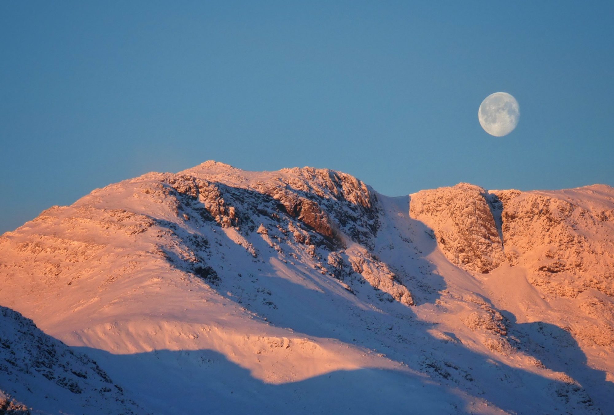
From here its just a question of following the well defined path along the broad ridge which makes up the remaining section of the old Roman road that is first encountered on High Street. Loadpot Hill, despite what Wainwright says is the highest point of my day, beating Wether Hill by the princely sum of three feet. It has the added interest of a trig pillar which I notice has frozen water around its base, a testimony that summer has still not arrived in Lakeland at the end of April.

The path inclines slowly down from Loadpot Hill and I see my last two objectives, Arthur’s and Bonscale Pikes in the distance across the bracken. In a little hollow I see a stone circle, marked on the OS map. I should really pay it a visit in homage to the ancient peoples who once occupied these hills millennia ago and for some reason chose this bleak spot to place something of significance to them. Lazily however I don’t really want to drop down and climb back the two hundred feet or so from the path so I content myself with taking a zoom picture. What price history.

Walking up to Arthur’s Pike I see Penrith and although I may be mistaken, I think this is the first time I have seen this town from one of my walks. I have company at the summit, not fellow walkers but hang gliders, lots of them. I imagine it must give a great sense of freedom to be hanging in the air, drifting on the wind high above the ground but I think my risk averse nature is happy for me to keep my feet firmly on terra firma. I can’t help but think of the nimble advert when watching them though and start mentally singing ‘she flies like a bird in the sky’. (Look it up kids!)

The head of Swarthdale Beck and another ruined building is skirted around and the final summit of the day, Bonscale Pike is scaled revealing what is perhaps the best view of the day. The whole northern reach of Ullswater shimmers down below. Sailboats meander over the aqua blue carpet of the lake, their white sails like butterfly wings, whilst a far more purposeful Ullswater steamer heads into Howtown, it’s V shaped wake trailing behind it. And beyond are those Eastern fells looking majestic and unmovable. I can even forgive the hang gliders for getting in the way of my pictures as their colourful, unnatural wings add scale to the scene.

From Bonscale Pike it’s a pretty steep, unrelenting and unpleasant climb down the flank of Swarth Fell. Whether it would have been better to have done the walk the other way round and got the steep climb out of the way at the start I will never know but mention it for consideration if you pass this way.


After what seems like an age, and with aching quads I eventually reach the flat ground of Mellguards and take a break by the stone flag footbridge that crosses Fusedale Beck.


From the beck there is a slight sting in the tale at the end of the day as the way back to St Peter’s Church lies uphill along the valley. It’s only a couple of hundred feet though and it’s a relaxing easy walk in the afternoon sunshine. I pass by a grand old oak tree and sit for a few minutes on a bench reflecting on the days walk. And in no time at all I am back at St Peter’s Church, having enjoyed a another glorious day in the company of five Wainwright’s.
To Find All My Walks In The Far Eastern Fells Click Here
Route Map, Walk Stats, Geolocated Picture Gallery and 3D Flyover Video Below.
Click ‘Learn more’ on the map. Note: you won’t see the map if reading in WordPress reader but click on the little world at the top of the page to view it on the browser.
I think I’d have come down that last hill on my bum, Jim, but at least I’d have been able to sing along with you at the summit. Well done, you!
Thanks Jo, I nearly went on my bum a couple of times!
🤣💙
Oh that looks glorious. Some of those tops look perfect.
Thank you Ruth, it was a good days walking with nice crisp views, we’re into heat hazy weather now!
Beautiful walk. We have done Arthur’s Pike and Bonscale Pike from Askham where my Mum lives. Maybe I should try the other 3 from St Peters church.
St Peter’s has good parking and there are great views of Ullswater from there
I really enjoyed reading your account of hiking the five Wainwrights from St. Peter’s Church Martindale. You captured the beauty and challenge of the route very well, and your photos are stunning. It sounds like you had a great day out with your friends, despite the weather and the boggy terrain. I admire your stamina and enthusiasm for exploring the Lake District. Thank you for sharing your experience and inspiring me to try this hike someday.
Thank you Supraja!
Good effort doing these in one go. Took me four separate walks! Steel Knotts was my 100th Wainwright and is a cracking little hill.
Thanks Tessa, yes Steel Knotts is good, I quite like Martindale