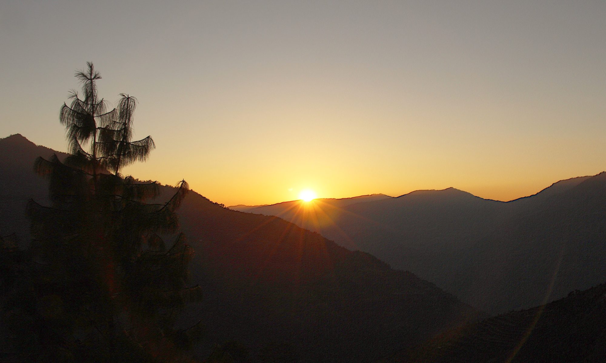


It’s not often, hardly ever in fact that you get to see the summit of the hill you are about to climb from your start point. Y Garn in Snowdonia is one such hill that comes to mind (you can read my blog about that walk Here). The hill I am going to walk up today, Stone Arthur is another and pulling on my boots in the lay-by outside Grasmere village I can see it’s rocky top poking up invitingly through the leafless winter trees.

The days forecast was for sunshine and cloud inversions. The weather ‘on the ground’ however doesn’t bear any resemblance to that as I start to walk up the road towards the Swan Inn. It doesn’t look like rain either though and as already noted, I can see that the summit of my chosen hill is clear of cloud.


Leaving the main road at the Swan Inn, a lane heads slowly upwards, then branches off onto a pretty track with the lovely little Greenhead Gill running right alongside the road, babbling along in a series of little cascades as it hurries down to Grasmere.

At the top of this track the tarmac is left behind and passing through a gate the open fell side is reached. There is a signpost here which gives you the choice of Alcock Tarn or Stone Arthur.

The path takes a sharp left and then follows a wall for a short while until it turns again to follow a well made stone path steeply up the fell side following the boundary wall of a plantation. Height is quickly gained and looking back I can see the wood smoke rising from the ancient stone cottages of Grasmere across a carpet of deep red bracken covering the ground.

At the top of the plantation the trees are left and the path traverses across the lower slopes Stone Arthur, crossing over a stream and bending around to join the ridge which is then followed up all the way to the summit.

The ridge is a wide grass covered slope with a good path, boggy in places, and up ahead the outcrop of rocks that marks the summit can be seen. Before long the rocks are reached and after a bit of easy scrambling up the rocky path I was standing on top of Stone Arthur.

In fact I nearly missed the summit. Stone Arthur is really just a promontory of rocks off the main ridge path that leads up to the higher summit of Great Rigg and if you are not paying attention it is easy to walk straight past it. The plan had been, if the forecast cloud inversion had appeared, to carry on up to Great Rigg. Looking at it now though, with the mist coming and going over the higher fells I decided this would be it for the day.

The views down to Grasmere and beyond however were clear enough and I enjoyed a Snicker bar and Babybel whilst identifying the various bodies of water I could see. Alcock, Windemere, Grasmere and Coniston were clear to see. Easedale and Esthwaite, both mentioned by Wainwright I wasn’t so sure about.
Wainwright wasn’t equitable in his guides, Helvellyn gets twenty six whole pages whilst the lowly Stone Arthur has to make do with just four. No matter how many pages Wainwright devotes to them though, they all equal the same number when climbed, ‘one’. And this happens to be my twenty fifth ‘one’ of The Eastern Fells.

Having enjoyed the view and lingered a while I retraced my steps back down the hill and into the tea rooms of Grasmere. A short day today, but no less enjoyable for that.
To Find All My Walks In The Eastern Fells Click Here
Route Map, Walk Stats, Geolocated Pictures and 3D Flyover Video Below.
Click ‘Learn more’ on the map. Note: you won’t see the map if reading in WordPress reader but click on the little world at the top of the page to view it on the browser.