

Starting today’s walk at Dunmail Raise, nearly 800ft above sea level does seem a little bit like cheating. I suppose though, unless you decide to climb every hill from the seaside you’re not starting from zero anywhere, so I comfort myself with this fact as I climb over the stile and head slowly up the hill and away from the traffic noise of the A591. A feature of the eastern fells seems to be giant ferns that often cover the lower slopes and today is no exception with the path forging a thin stone line between a mass of greenery that soaks my trousers with the morning dew. Today’s walk will take me up onto the Helvellyn ridge from Grisedale Tarn which becomes a high level highway taking in Dollywaggon Pike, Nethermost Pike, Helvellyn itself, White Side and finally Raise before dropping down the Sticks Pass into Thirlmere.


It’s a dry, sunny, summers morning and I am looking forward to the day ahead. Shortly after setting off I check my position and can see that I’m off the path that heads up the valley, only slightly though and the going is so good on the path I’m on that I decide to keep going thinking that it may curve around back into the valley as height is gained. It’s only when I reach the point of no return, or at least no return without losing a lot of height that I realise that my lovely, well graded path is heading straight to the top of Seat Sandal, not where I want to be at all, particularly as I was there only yesterday. All is not lost though and when I hit the 600m contour I easily traverse across the grassy tussocks to the north of Seat Sandal and rejoin my intended route at Grisedale Tarn. Proving the point, if it needed proving that even in the days of GPS navigation it’s still possible to get lost if you are not paying enough attention.

Grisedale Tarn looks lovely in the morning light and a tent pitched nearby provides nice perspective for some pictures. The sun is still low in the sky and as I move around the tarn the low light casts shadows and brings into relief the cracks and crevices of Fairfield just across the valley so its looks like someone has taken a giant chisel to it.

I wasn’t overly looking forward to the walk up Dollywaggon Pike. I’ve not done it for a long time and I have memories of sliding down rubble and scree to Grisedale Tarn on a couple of occasion in the eighties and nineties. The path has obviously been given a lot of attention since then though and it was a pleasure to ascend on a well made stone step path which led effortlessly to the heights.

Just before the summit of Dollywaggon Pike the path passes the edge of Cock Cove where there is a quite magnificent viewpoint looking down Grisedale stretching all the way to Ullswater. The summit itself can easily be missed as the main path is broad and speeds straight past on its way to the Honeypot of Helvellyn, a highway to Helvellyn as AC/DC might say. An old iron post shows where the path to the summit diverts off.

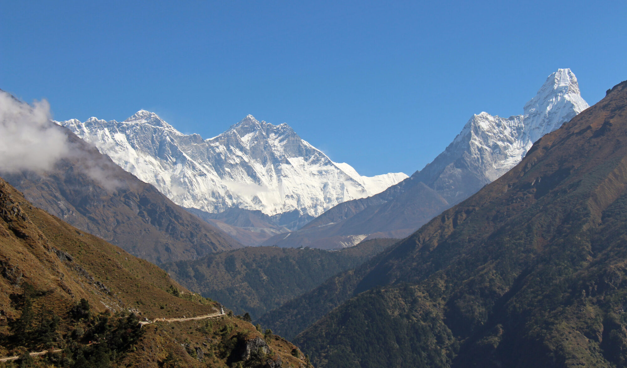
Dollywaggon Pike is a good view point although the best views down Grisedale can be seen from the top of the tongue a few metres from the main summit. The bulk of Fairfield stands out across the valley and to the North lies Nethermost Pike, Helvellyn and Striding Edge.

Once back on the Highway to Helvellyn, it leads in fairly short order and without much fuss all the way to Nethermost Pike, bypassing High Crag on the way which, because it’s not a Wainwright probably receives few visitors.

As Wainwright says the summit of Nethermost Pike is remarkably flat which is a strange sight to see in the high mountains. There are two cairns of substance and I settle down at what I perceive to be the slightly lower one but perhaps has a better view for a bite to eat and drink. I have Nethermost Pike to myself but I know that on this warm summers day the top of Helvellyn will be busy so I take the opportunity to enjoy some solitude before venturing on.
Helvellyn is perhaps only a kilometre away and a short haul up the slope from Nethermost Pike but on arrival I have entered a different world. Helvellyn is one of the ‘Honey Pot’ mountains of the Lakes and the country. One of only four 3,000ft mountains in England it attracts hundreds, probably thousands to its top every year and was voted ‘Britains Best Walk’. For all it’s celebrity status though Helvellyn is a ‘proper’ mountain, a hill walkers mountain. High, with ridges, shelters, views, a trig point and tarn and a multitude of ways to walk up it, it is a joy to climb.


I had to walk up it three times before I even got a view, I’ve been up it in the middle of winter, getting lost in a white out and the time before this I enjoyed a marvelous days walking along striding edge. Today is my sixth ascent of this mountain and I share it with dozens of others all enjoying the sunshine, some eating ice cream and wearing flip flops (I jest). The mountains don’t judge who climbs them though so neither should I. They are there for everybody, novice and professional alike. Just make sure you get down alive at the end of the day.

The day is just about perfect, blue skies with fluffy clouds, warm with not a breath of wind but not so hot as to be oppressive or create a shimmering heat haze on the horizon. I wander along to the trig point and enjoy a sublime view down to Red Tarn with Striding Edge and Swirral Edge forming the perfect bowl it sits in. Beyond that Ullswater, and beyond that, the Pennines. Glorious. It’s a shame to leave but my intention is to be hear again in the not too distant future when I visit Catstycam so it is farewell not goodbye. The path leads on to Lower Man and then drops fairly steeply on the way to White Side. Thirlmere now comes into view and there is good view of Browncove Crags to the west.

After a big drop there is a little rise to reach the summit of White Side which is a jumble of rocks with good views back to the pointy summit of Catstycam which looks very green, reminding me of the mountains of MacGillycuddy’s Reeks in County Kerry.

Its a more significant incline up to Raise than the one to White Side and on the way I meet a couple who warn me of a flying ant swarm around the summit cairn. Sure enough, there seems to be a nest of flying ants inside the cairn and today seems to be the day they are all leaving home. It’s a fine cairn though even though I couldn’t get too close to it.


I have tired legs coming down the Sticks Pass which seems to go on forever. Towards the end the path steepens as it enters the little valley containing Stanah Gill. There is recompense for this however in the form of Sty Beck Falls. The falls, reached just before the farm is a lovely little waterfall, perfectly placed for me to enjoy a moments contemplation at the end of a tiring but very enjoyable day in the hills. I can’t help but sit here for a while just listening to the sound of falling water, contentedly basking in the afternoon sunshine and cooling off my hot head in the refreshingly cold crystal clear pool below the falls.
To Find All My Walks In The Eastern Fells Click Here

For map, route details and picture gallery of this walk click ‘Learn more’ below