

Glenridding Dodd and Sheffield Pike, the objects of today’s walk form the northern wall of the Glenridding valley and can be clearly seen from Glenridding village and from Gillside campsite, my home for a couple of days walking. Unfortunately (or fortunately if you like the heat) today’s walk coincides with some of the hottest days of the summer and with temperatures reaching into the 30°c’s an early start seems best to avoid both the crowds and the heat.
The walk is a contrast of steep rocky terrain, both on ascent and descent with a bit of easier gradient on grass in the middle section and then track and fields to finish.

The two peaks of the day can be seen more or less from the campsite and the climbing starts from the get go when the path leaves Greenside Road just past the first set of cottages by the cattle grid. The thin, rocky path heads up the hillside on a fairly steep angle, winding its way through green ferns and providing expanding views back down to Glenridding village and up the valley as height is gained.


The path itself is fairly worn with loose and pebbly stones to be wary of. After a fairly sustained bit of uphill the gradient eases noticeably as the rake is joined and before long a wall that runs between the two hills is joined at the hause.

It’s a right turn here for Glenridding Dodd and after only ten minutes or so along the obvious path the summit cairn of this little peak is reached and you can take a rest. I have the summit to myself and spend some time enjoying the silence and the early morning views along the length of Ullswater and across the lake to Place Fell.


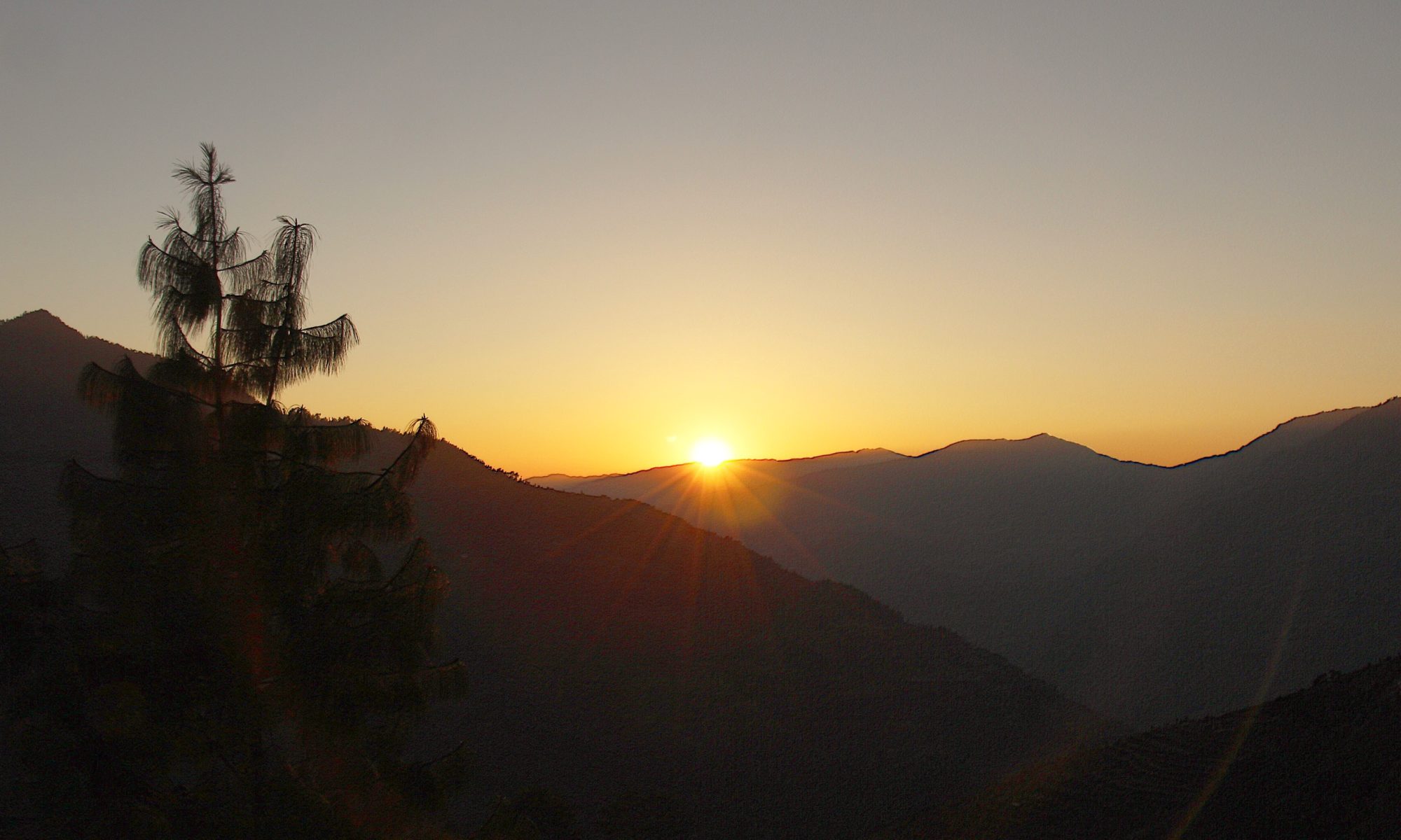
The morning is bright, clear and silent with no wind to speak of and few clouds. As I start my way down back to the hause I can already feel the temperature rising. On the way down I can see two paths heading up Sheffield Pike. The most prominent crosses the wall at two points and seems to have contributed to its destruction on those sections. I decide to take the route described by Wainwright which heads up the South East ridge, as he describes, to the top of Heron Pike.


Its pretty rough going and I’m glad I’ve got my poles to steady me on the loose rock. Eventually I reach the top of the ridge and can see the path to Heron Pike leading off to the right. I skip this and continue along to the summit of Sheffield Pike. The path is flat and grassy now and if it wasn’t so dry I suspect it would be normally boggy.


The summit of Sheffield Pike is really a big jumble of rocks with a pretty substantial shelter just below the summit cairn. Curiously, on the summit there is a rock with the inscription H, M, ER, 1830 carved into it. I noticed a similar rock on the climb up the ridge. Wainwright mentions an iron post and gives the explanation that they are boundary markers between the Howard and Marshall estates. He doesn’t mention the stone on the summit though, presumably it wasn’t there when he passed by.
Once again there are good views along Ullswater and because of the summits higher altitude compared to its lower neighbour extensive views over to the Far Eastern Fells and across to the Helvellyn range. After photos and video at the summit I drop down to the shelter to avoid a breeze that has got up and sit for a while admiring the long blue stretch of Ullswater with its dog leg disappearing into the distance. I grab a bite to eat and two guys arrive, the first I have seen all day and head up to the summit. By now the sun is high in the sky and it is positively hot, as in ‘Spain in August’ hot. As I leave the shelter the breeze cools me a little but by now even the wind is warm. The path off the mountain drops down steadily and pleasantly on grass all the way to the lower part of the Sticks Pass Path which it joins at a footbridge.

On the way down I pass the iron post boundary marker mentioned by Wainwright. The thought that this has stood there for 109 years, in all weathers and through all the momentous events of world history that have occurred strikes me as quite something and I have to lay my hand on it a sign of respect as I pass by. I wonder if I will still be standing at 109!

From the footbridge the path works its way down through an industrial landscape of spoil heaps and mine workings until the Greenside Road is reached at the youth hostel. I follow the road down until a footpath is reached leading off to the right.

This leads down through the fields to Glenridding Beck which is crossed on a bridge and then a good path is followed over the fields and back to the campsite. From the path there is a grand view over the Glenridding valley to the two mountains you have just had the privilege of walking over.
To Find All My Walks In The Eastern Fells Click Here

For a map, route details and picture gallery of this walk click on ‘Learn more’ below