

Day 12 Osmotherley to Clay Bank Top 11 Miles
Having spent two days crossing the Vale of York we are now back in hill country and about to enter our third National Park, The Yorkshire Moors. We enter the Park just outside Ingleby Cross and the trail soon starts to head upwards at a steady incline through Arncliffe Wood. It is a still, silent morning and we are the only people around. As we climb through the wood, out of the corner of my eye I catch sight of a deer. It has its back to us and is munching away on some ferns about thirty feet away. Despite our best efforts all too soon it senses our presence and rapidly darts off into the undergrowth, it’s bouncing white bottom contrasting with the green foliage as it vanishes, magician like from view.
*Click on any image to open larger in new window*

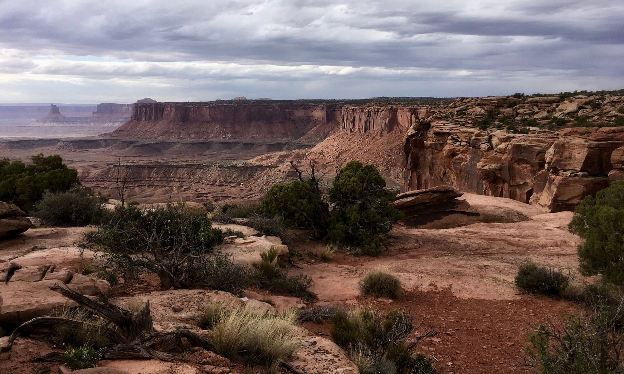
Coming out of Arncliffe Wood at the top of the tree line the Cleveland Way is joined and the trail continues upwards on open ground reaching Beacon Hill a short while later. From Beacon Hill There is quite a panorama to take in with far reaching views of the type not seen since Nine Standards Rig in the Yorkshire Dales.

Looking North, the Cleveland Plain stretches out and in the distance, Roseberry Topping, a 1000ft isolated hill can be seen rising up from the flat landscape surrounding it. South of the trail the Purple heather clad moorlands of the North Yorkshire Moors carpet the landscape. And ahead, the rest of the days walk is laid out before you. The trail follows the Cleveland crest along the Cleveland Hills for the rest of the day and the way ahead can be clearly seen along the stone path winding its way, Yellow brick road like over Near Moor, Live Moor, Cringle Moor and finally our days end, Carlton Moor. After the flatlands of Yorkshire it’s good to be back on the hills and the expansive views are refreshing and give us a lift as we head off along the crest.

The weather is mixed and some rain is forecast so we press on following the well laid and well maintained stone paving, offering a silent thank you to the people who laid it. It’s a steady walk along the crest with the occasional drop down to a road crossing and then back up again onto the path across the moors. As well as the views to admire, there is another reminder of the Yorkshire Dales as we walk along. Grouse, hidden away in the heather fly up almost vertically as we disturb their rest. Giving off their distinctive “pete-pete” sound they fly off for twenty yards or so before landing and promptly disappearing back into the heather. As neither of us happen to be carrying shotguns in our rucksacks, the Grouse have nothing to fear from us and can live to fly another day. As we drop off Live Moor the rain starts. We were hoping to stop at Lord Stones Cafe for some refreshments but unfortunately it is closed for refurbishment so we have no choice but to press on with the rain settling in for the afternoon. Cringle Moor was a washout and with the rain came the mist and low cloud so the views disappeared. At Hasty Bank we followed the forest track around it to get to Clay Bank Top figuring there seemed little point going over another top with rain, mist and no views to enjoy. We arrive at Clay Bank Top a bit dishevelled and await our lift to the B&B. Like a game of football, today was a day of two half’s. A dry and pleasurable first half followed by a pretty wet and miserable second half and, with the cafe closed there wasn’t even an orange at half time. Any outdoor activity is always at the mercy of the weather and walking, particularly mountain walking with its additional hazards of height, navigation, terrain and isolation more so. I think the general view of experienced walkers, certainly my own is that you win some and you lose some on the weather stakes and as Ranulph Fiennes famously said “there’s no such thing as bad weather, only inappropriate clothing”.
To Read More From My Coast to Coast Walk Click Here

For map and route of this walk click ‘Learn more’ below