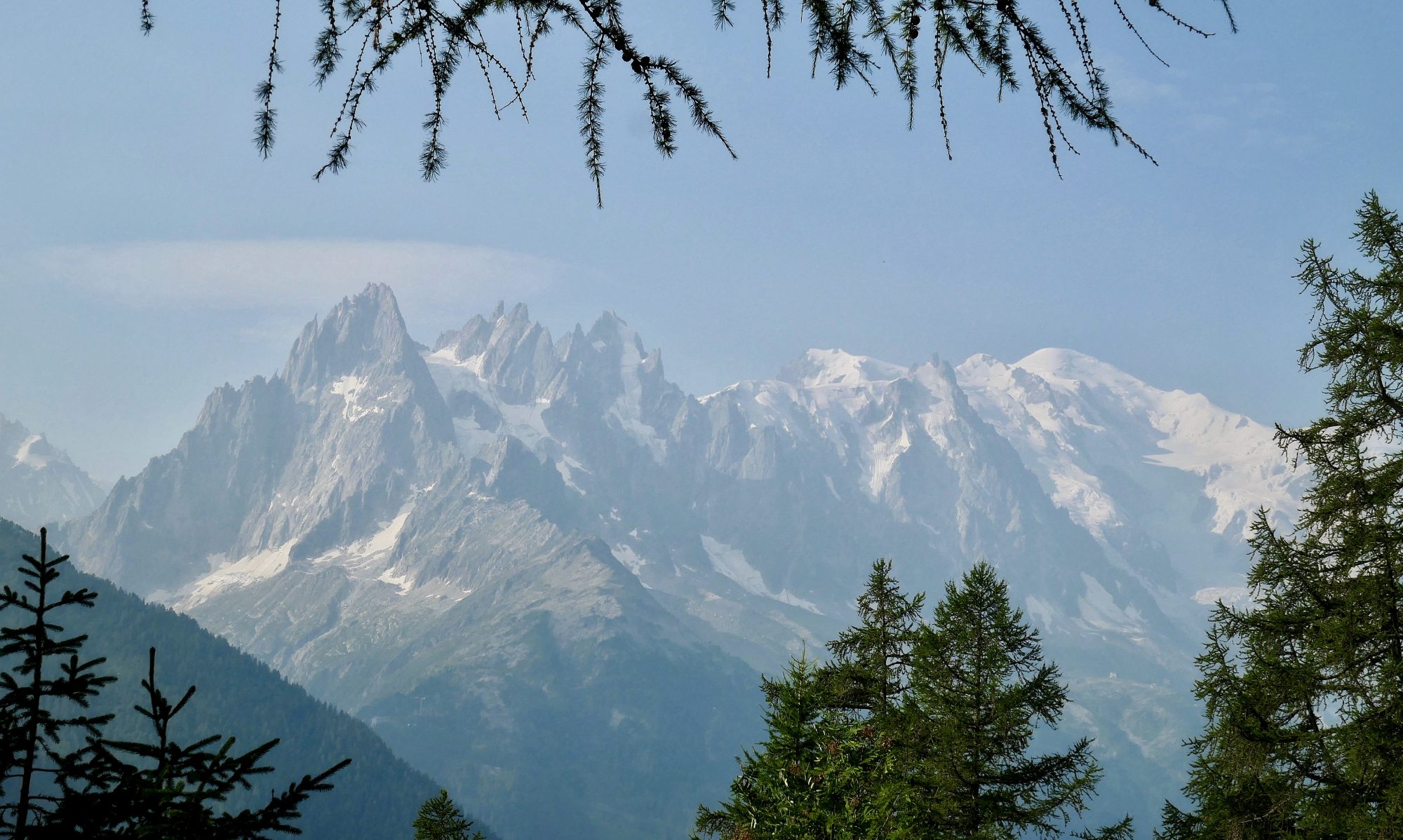
The Formentor peninsula is the rocky, volcanic spit of land that sticks out into the blue Mediterranean on the north east coast of the Balearic island of Mallorca. It’s precipitous serrated cliffs rise up sharply all along the peninsula and provide a dramatic landscape. My walk today climbs one of those rocky outcrops, Na Blanca. After being unable to travel for a couple of years because of Covid it’s a pleasure to be back on this beautiful Balearic island for a late autumn break and I am looking forward to reacquainting myself with walking in Mallorca.
A walk up Wansfell and Wansfell Pike
I knew that I had to get away before Christmas otherwise the festive season with its activities, indulgences and its unique ability to warp time so you lose track of what day of the week it is would arrive and it would be New Year before normal life resumed. Thankfully, a period of very cold but dry and settled weather was forecast and I took advantage of it to head north, arriving at Troutbeck just as the last rays of watery sunshine were vanishing over the western horizon and the temperature started to plummet. When darkness fell, the clear star studded night sky sucked the last vestiges of any heat out of the ground.
Ulva Island/Te Wharawhara, New Zealand. A Walk on the other side of the world.
It’s only sitting at home, a few weeks after my return from New Zealand that I have time to reflect on just how special my walk on Ulva Island/Te Wharawhara was. Sitting off the southern tip of New Zealand Ulva Island is a predator free paradise of unspoiled temperate rainforest and footprint free beaches where the waves of the Southern Pacific Ocean break rhythmically onto golden sands. Human interference has been kept to a minimum on the island and a rich variety of flora and fauna has been allowed to flourish naturally. I don’t think I’m likely to have the privilege of walking in such a pristine environment again. It also happens to be the furthest south I am ever likely to travel. When I discovered the handy website ‘antipodesmap’ and put my home town in, it took me to the ocean about 300 miles South East of Ulva Island. As you can’t walk on water I’m going to say that I have literally walked on the other side of the world.
Continue reading “Ulva Island/Te Wharawhara, New Zealand. A Walk on the other side of the world.”
A Harter Fell Round from Sadgill
It’s the second day of my stay in the little hamlet of Sadgill and I had another silent and restful nights sleep in the van. Yesterday afternoon I walked down Gatescarth pass and this morning I’ll be retracing my steps as I make my way to Harter fell. From there I’ll essentially be walking along the eastern section of the Kentmere horseshoe taking in Kentmere Pike and Shipman Knotts before following the old cart track back to Sadgill.
Grey Crag and Tarn Crag from Sadgill
I arrive at the little hamlet of Sadgill at the far end of Longsleddale just before the sun sets and have the parking area to myself. This long, picturesque valley is situated right on the fringes of Lakeland. Remote, unfrequented and unspoiled there are none of the usual tourist trappings that attract thousands to the honey pots not that far away across the hills. No cafés or gift shops, no zip wires or yurts, no phone signal, just sheep and peace and quiet. And I’m pretty sure the residents like and want to keep it that way. Just before I turn in, I step out of the van and am greeted by total silence and a blackness I have rarely, if ever encountered in this country. Above a cloudless sky all the stars of the heavens were twinkling and the Milky Way stretched from one horizon to the other.
A High Street Round
The low morning sun is glistening off the still waters of Haweswater and the bright green evergreens, standing tall like soldiers on a parade ground are reflecting on the water and forming a green sandwich filling between the dark blue of the lake below and the light blue of the cloudless skies above. All was peaceful in my little camper spot last night, I had it to myself, drinking cold beer as I watched the sun go down over Kidsty Pike, which happens to be the first objective of today’s walk. It’s going to be a long one, a circular walk taking in Kidsty Pike, High Raise, Rampsgill Head, The Knott, High Street and finally Mardale Ill Bell. Six tops on what is forecast to be a hot day, so I pack plenty of liquid.
Selside Pike and Branstree
Endings and Beginnings are, as Mufasa might say all part of the great circle of life. My journey through Book One, The Eastern Fells is over, a great experience with memories to last a lifetime and today, I begin my journey through Book Two, The Far Eastern fells. I’ve been looking forward to walking these hills, tucked away on the edge of Lakeland, far away from the honey pots that attract many visitors. Quiet, peaceful, with unfrequented and unworn paths, maybe even grass to walk on and a deer to see. I have thirty six hills to enjoy and I am looking forward to it.
Birkhouse Moor and Catstyecam
It’s the Queens Platinum Jubilee Weekend and Seventy years of Her Majesty on the Throne is being marked by street parties up and down the land and a double Bank Holiday. Even the weather is paying homage with warmth and sunshine. Not one for street parties, or pomp and circumstance I have managed to squeeze into Gillside campsite in Glenridding, the perfect starting point to climb the remaining two hills of Book One, Birkhouse Moor and Catstyecam and bring my journey through Book One, The Eastern Fells Fells to its conclusion.
Great Rigg, Heron Pike and Nab Scar
Gazing out at the glorious views of Lakeland from the summit of Great Rigg I feel a little melancholic. This is my first mountain summit since turning sixty. I remember well my first trip to the Lake District. In 1983, aged twenty one, a mate and I drove over from Yorkshire where I was stationed at the time. We were with a couple of girls we fancied in a very old VW Beetle owned by one the girls. We walked around Keswick before heading up to Watendlath for a dip in the tarn and then a walk up High Tove. On the way back to Yorkshire the Beetle broke down several times and had to be coaxed back to life with a bit of WD40. When you’re 21 thinking about being 60, well you may as well be thinking about being dead. But here I am, very much alive, still climbing hills 39 years later.
Hart Crag and Fairfield from Dovedale
Having had the pleasure of walking down Dovedale last summer after climbing Hartsop Above How, today I have the equal pleasure of walking up it. The Dovedale valley is quite rightly regarded as one of the most delightful of Lakeland valleys. It’s varied in terrain and picturesque in appearance. Starting in the pastoral landscape of Hartsop, it follows a dancing Dovedale Beck up past waterfalls and then narrows and steepens in its higher reaches into an enclave that provides enticing views far above to the imposing Dove Crag with its popular cave, known as The Priests Hole. At the top it opens out onto the flat plateau of Houndshope Cove just below the Crag and provides extensive views down the valley to Patterdale and across Kirkstone to the Far Eastern Fells and the Pennines beyond.