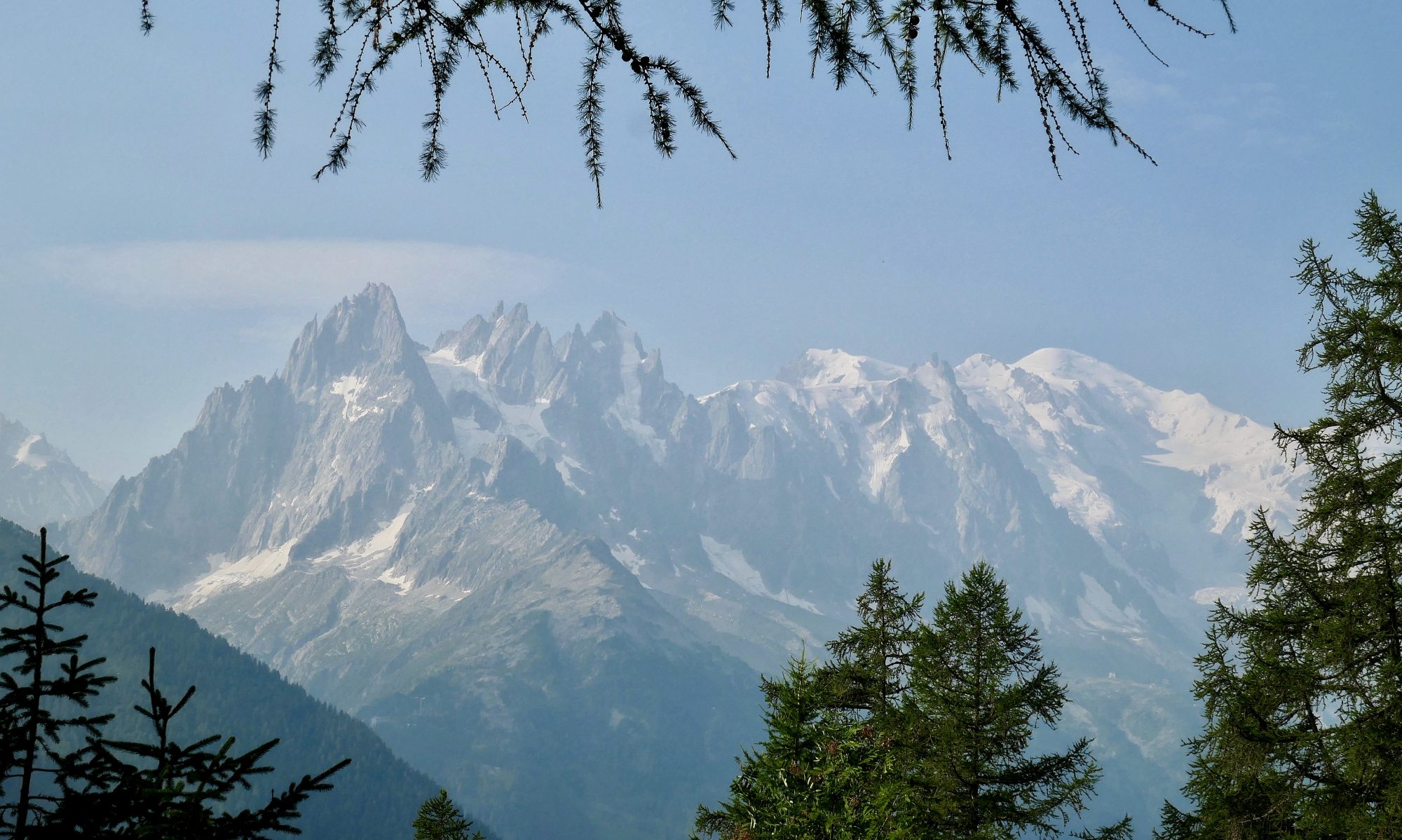


The names of the mountains of Lakeland can often seem like they were created by a random password generator and many a hill walker who has wandered over them has wondered how the likes of Catbells, Barf, Froswick or Great Cockup came to be named such. There can be no such doubt however about today’s mountain, Crinkle Crags. It’s a name that perfectly describes the five undulating and craggy crinkles that form part of the skyline at the head of the beautiful valley of Great Langdale.
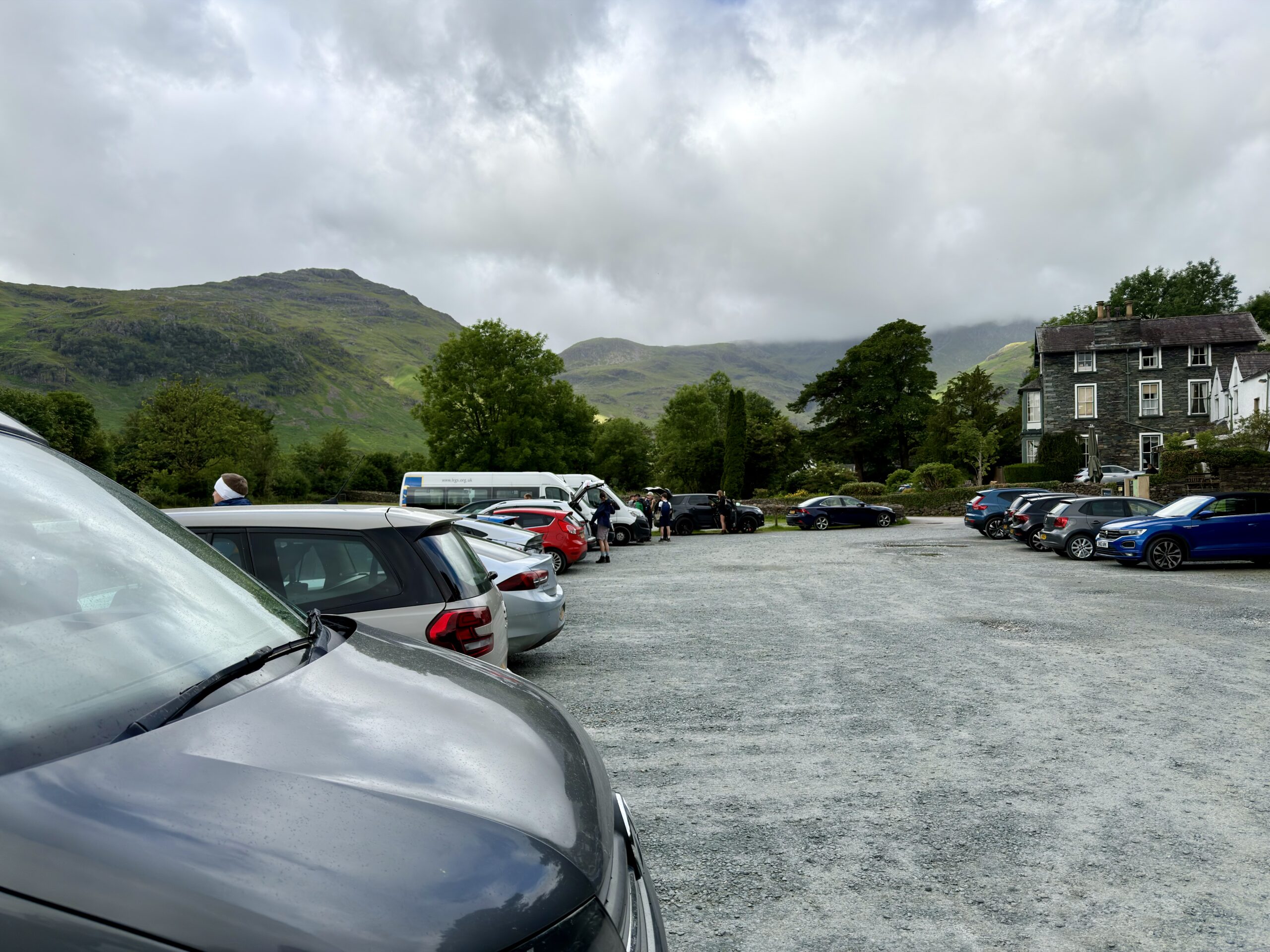
Except today of course, where the crinkles are cloaked by a layer of cloud that has settled just below their tops. The weather is due to improve however as the day wears on and as I leave Old Dungeon Ghyll I’m sure I will be bathed in glorious sunlight by the time I get up there.
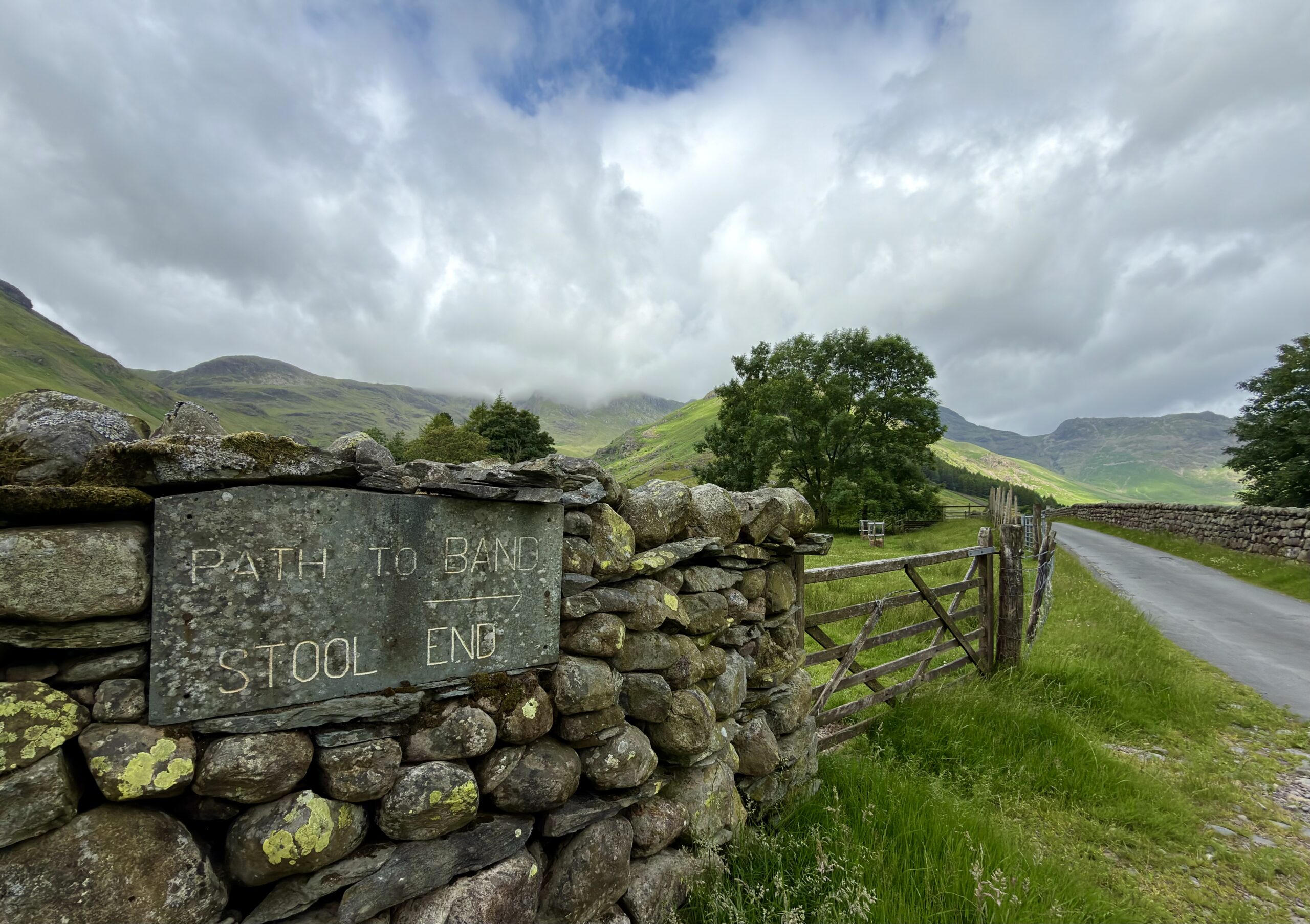
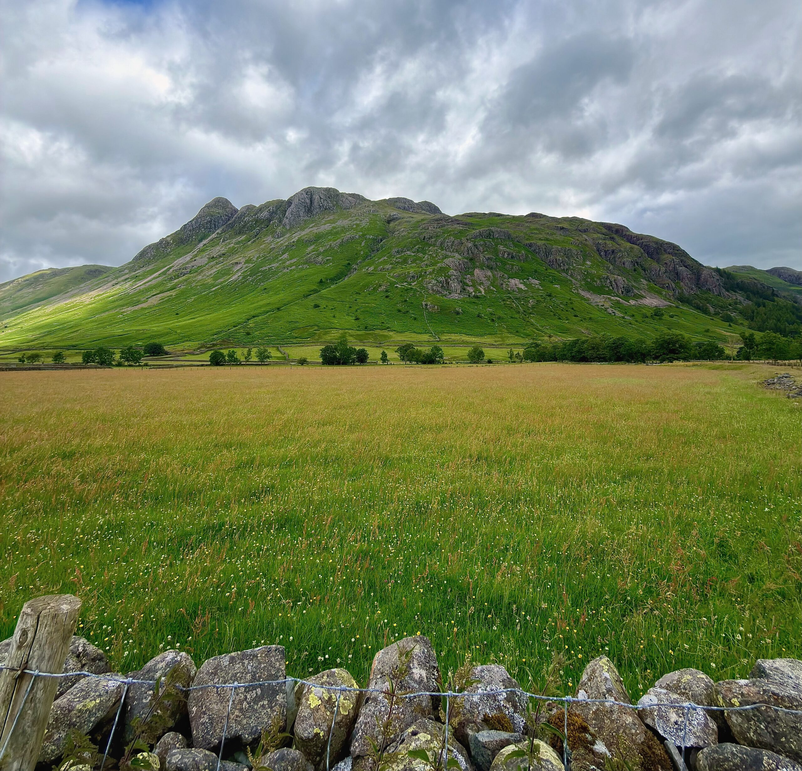
It’s a pleasant and easy start as the farm road to Stool End is followed across the wide green valley bottom and I take time to admire my surroundings. To my right, the perfect mini mountain range of the Langdale Pikes, each with its own shape and characteristics rises from the valley floor and to my left, Pike of Blisco and Cold Pike, both climbed in the icy cold of last winter.
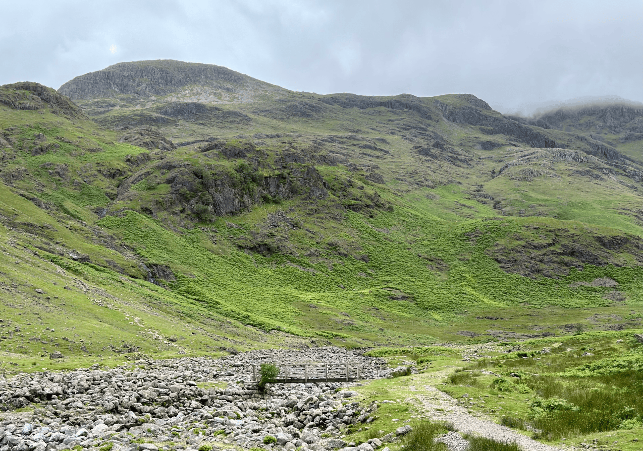
Beyond the farm the path heads up Oxendale to reach the footbridge crossing Oxendale Beck. Not visited today but a little further up the Beck is the impressive waterfall of Whorneyside Force, the large hollow pool at its base a popular spot for Instagram influencing wild swimmers.


Crossing over the Beck the trail tilts upwards and the work of the day begins as I climb up and beyond Brown Howe and then into the narrowing ravine of Browney Gill which has some decent waterfalls of its own tumbling down the steep drops.
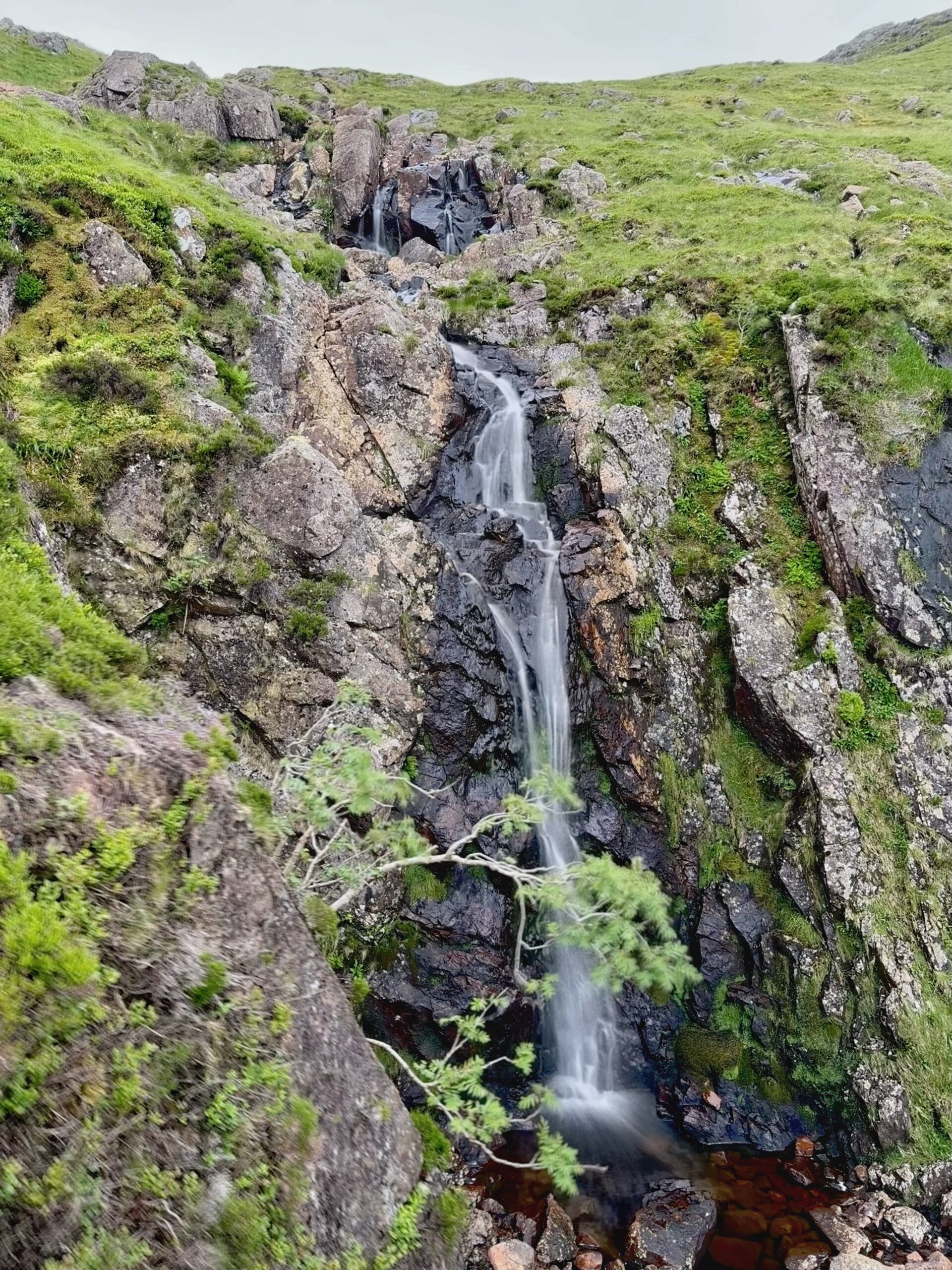
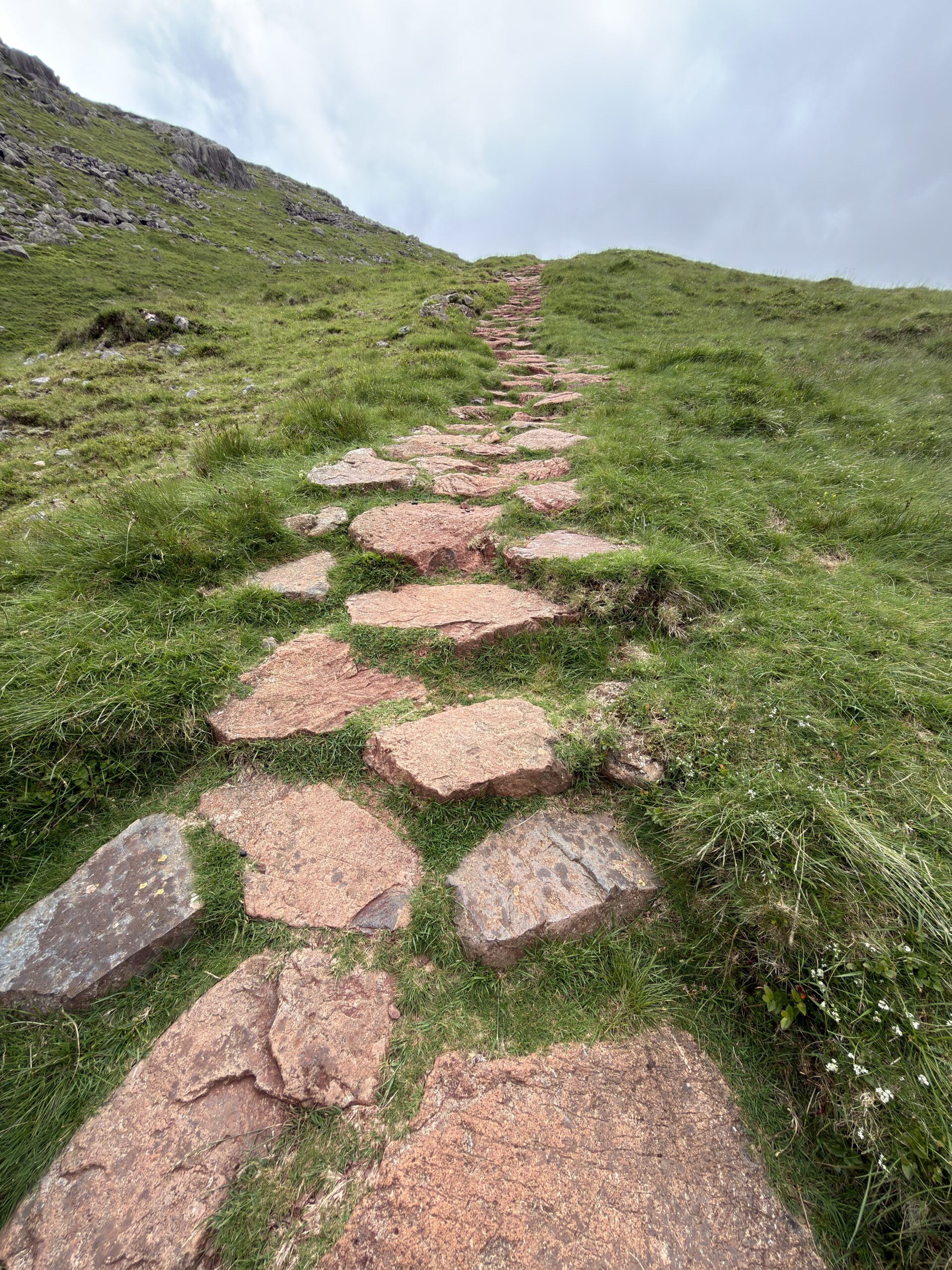
Past the waterfalls the gradient eases and a good stone laid path leads to the hause at Red Tarn. It’s not difficult to figure how Red Tarn got its name as the rocks and surrounding earth are all tinged red, the result of iron oxides in the ground weathering over time.
I take a break and have a look at Crinkle Crags which seems to be loosing itself from it’s misty shawl with patches of blue sky now appearing through the grey.
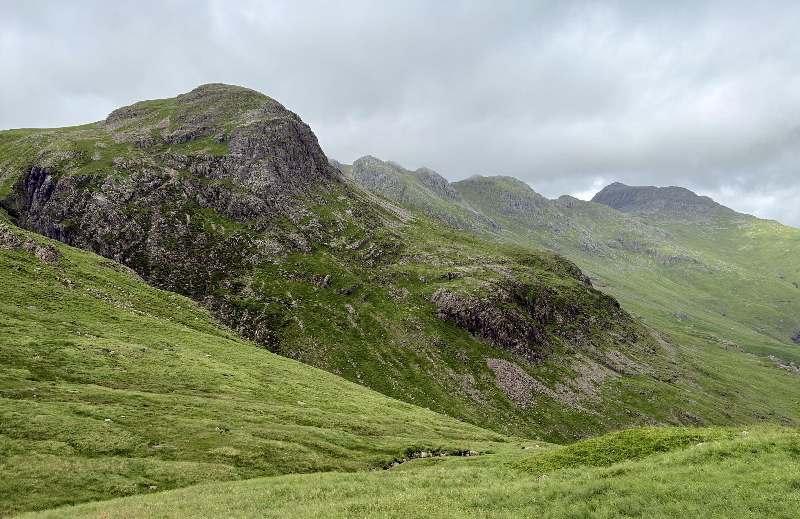
From the flat saddle at Red Tarn I follow the Cold Pike path for a short while before carrying on, passing Great Knott to the first crinkle of Crinkle Crags.
Certain locations and features in the Lakeland hills have acquired legendary or infamous status and are well known to those who walk in these mountains. Broad Stand (definitely NOT for walkers) and Piers Gill are accident black spots that often trap the inexperienced, careless or lost walker. Sharp Edge and Striding Edge whilst exhilarating have multiple mountain rescue call outs each year.
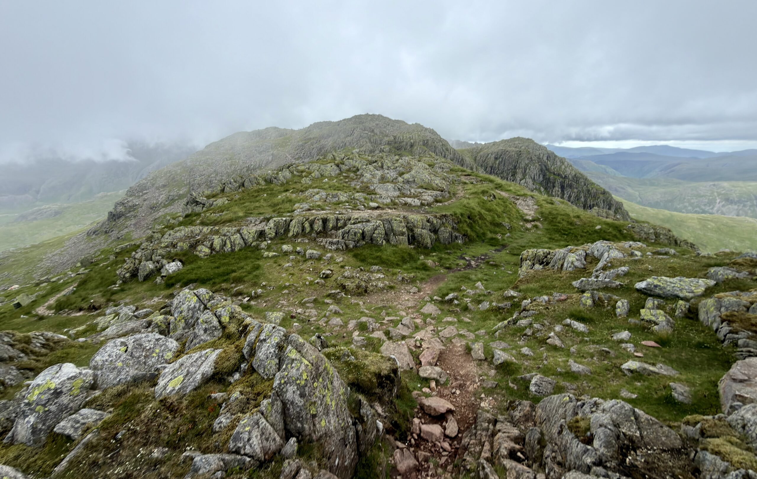
Whilst lesser known, the ‘Bad Step’ on the way to the highest crinkle has a reputation. It’s a short but near vertical scramble of about fifteen feet up a polished rock face where you need to be switched on and tuned in if you are going to negotiate it successfully.
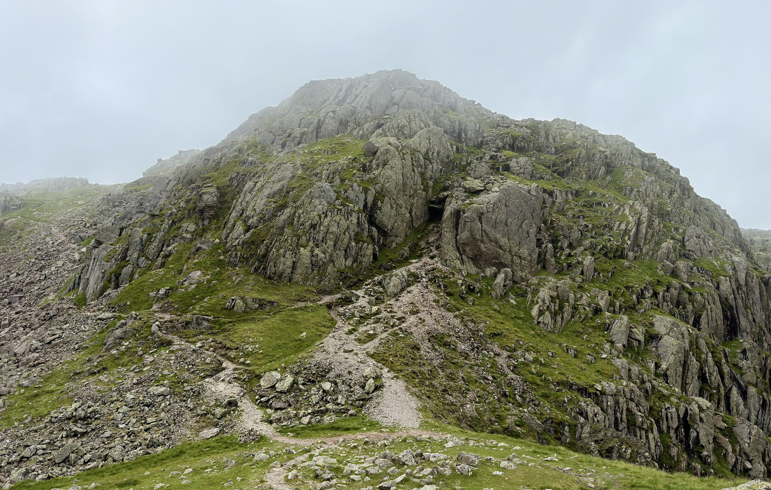
I was thirty eight years younger when I last tackled the bad step and looking at it now, on my own, in swirling mist and a gusting breeze I figure that memory is sufficient and discretion being the better part of valour take the easier path traversing around the summit before heading up to the top from the rear.
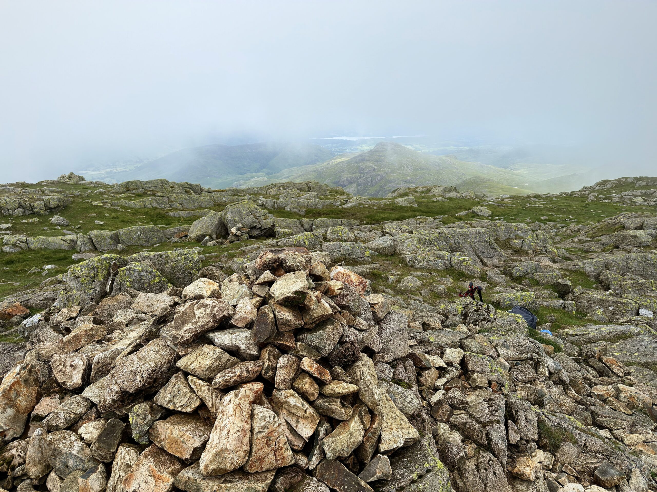
Unfortunately the scudding cloud base has descended again and settled about twenty feet or so below the summit. Regular readers will know that I have my own rules about my journey over the Wainwrights one being, I will get a view from each top.
And so it’s with a little frustration that I set about hanging around to see if the cloud clears. In the end I spend half an hour standing by the summit cairn, not another soul joins me although I see two pairs walk straight past along the ridge.
*********************************************
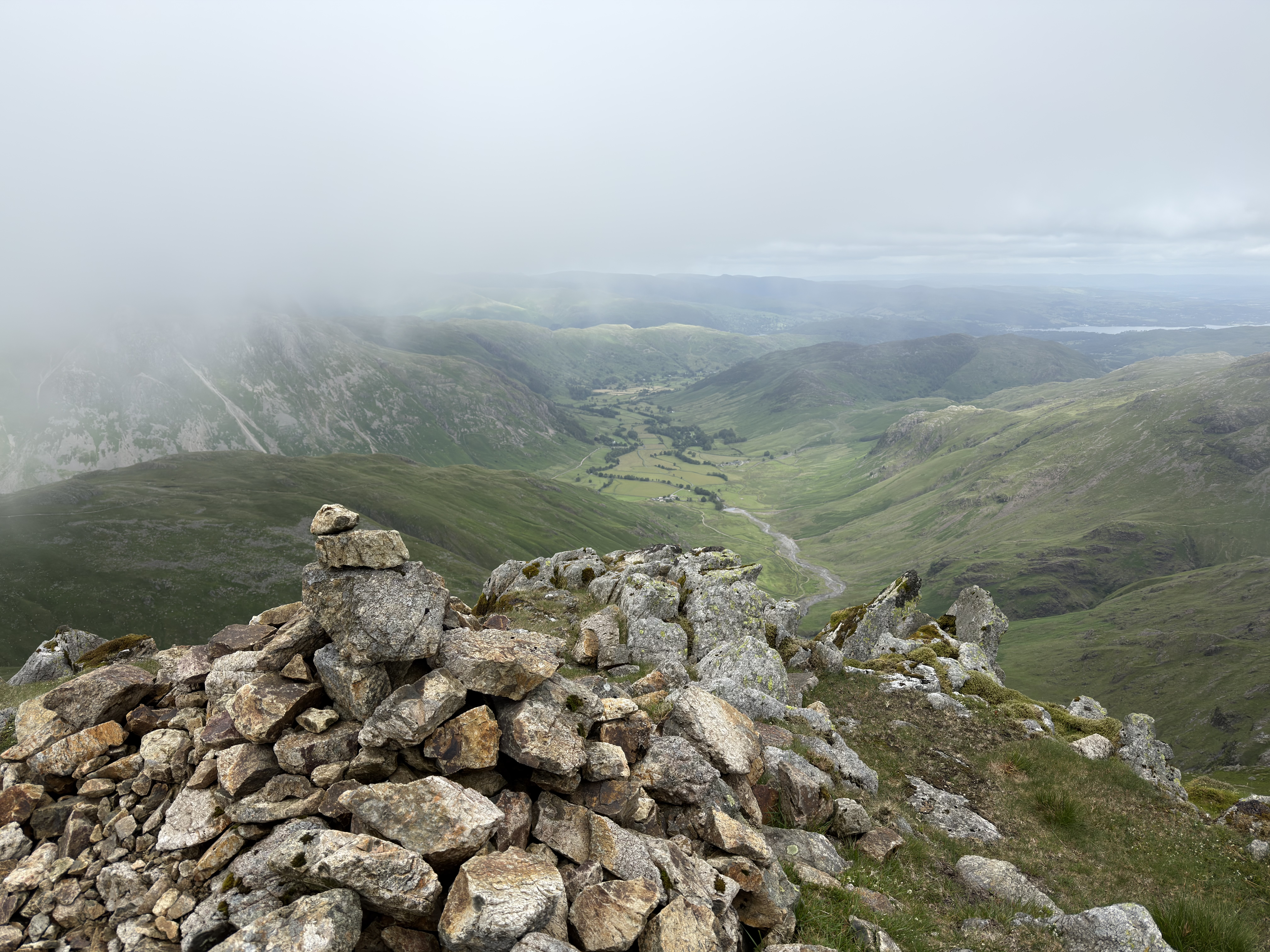
And the cloud never fully lifts, although, like a duvet being shaken I catch enough of the surrounding landscape through the rippling cloud base to satisfy myself that I have actually seen the view from Crinkle Crags albeit in slide show format rather than full IMAX.
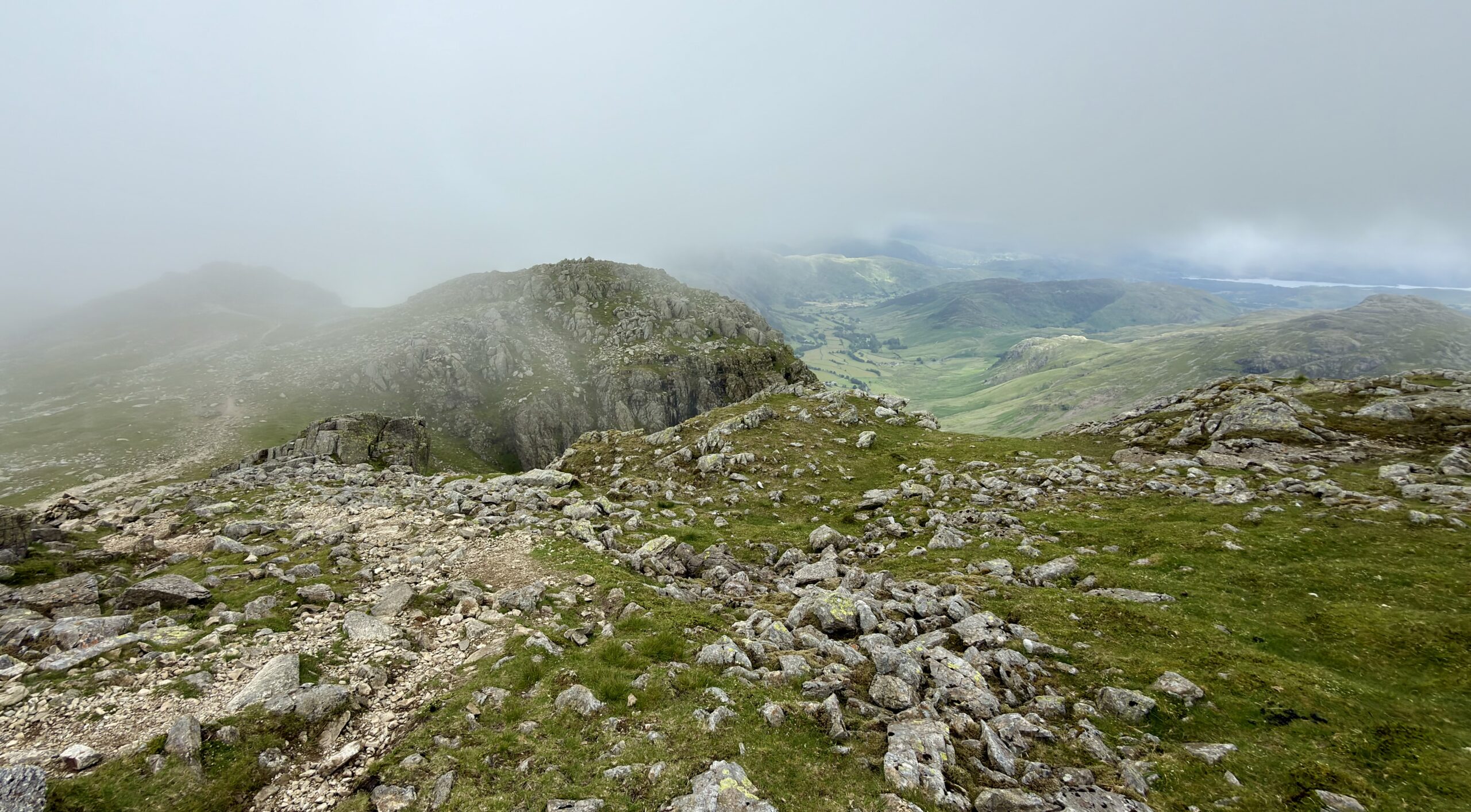
And as soon as I leave the top and drop thirty feet I’m out of the clouds with uninterrupted views of the curved and verdant Langdale valley and in the other direction the bulk of the mighty Scafell Massif.
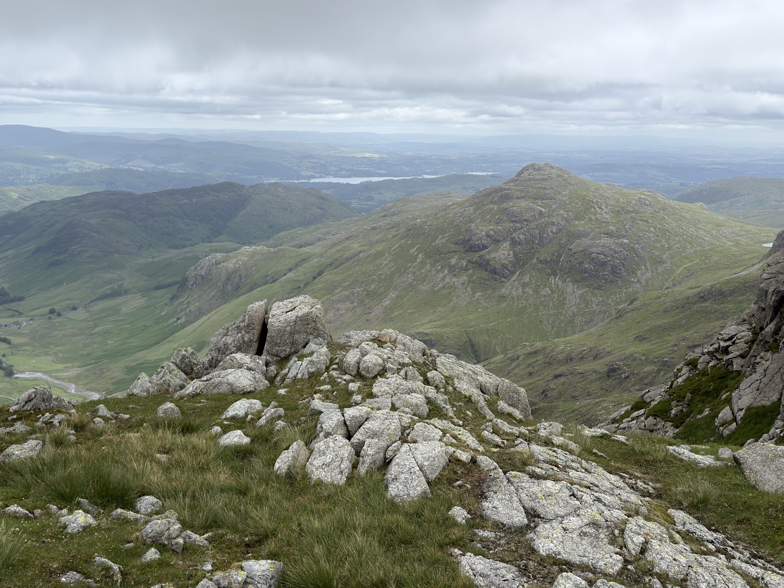
I bypass the third crinkle and visit the fourth and fifth before dropping down to Three Tarns which sit in the hause between Crinkle Crags and Bowfell.
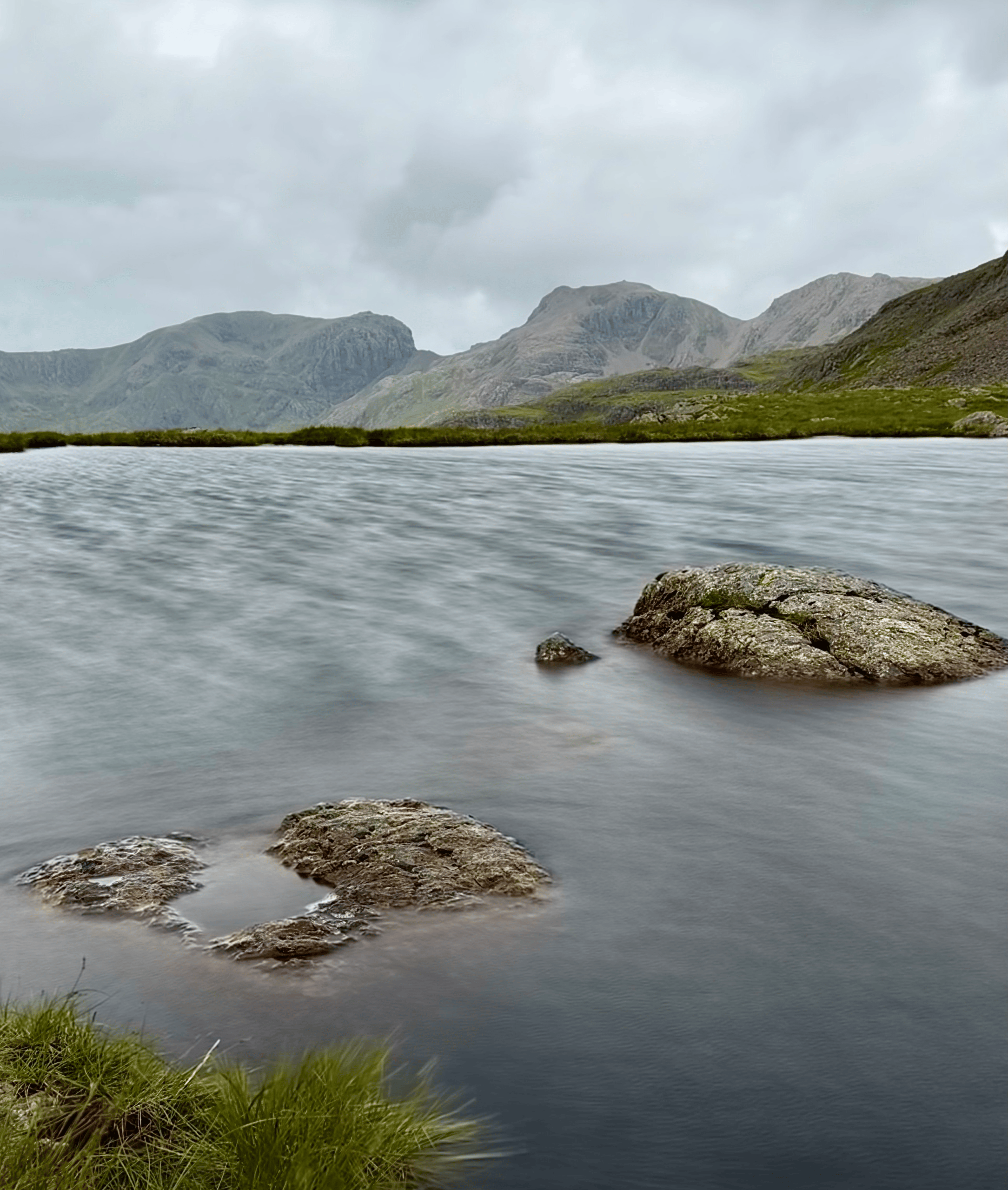
At the largest of the tarns I get my pack off, get something to eat and drink and settle on a rock. After the concentrated effort of walking the up and down, rough and rocky terrain of the Crinkles I’m feeling the need to just re-centre myself, sit still, slow everything down, get rid of the mind chatter and my lingering annoyance about the mist and just be present for a while in the wild, remote and unchanging beauty of the high hills of Lakeland.
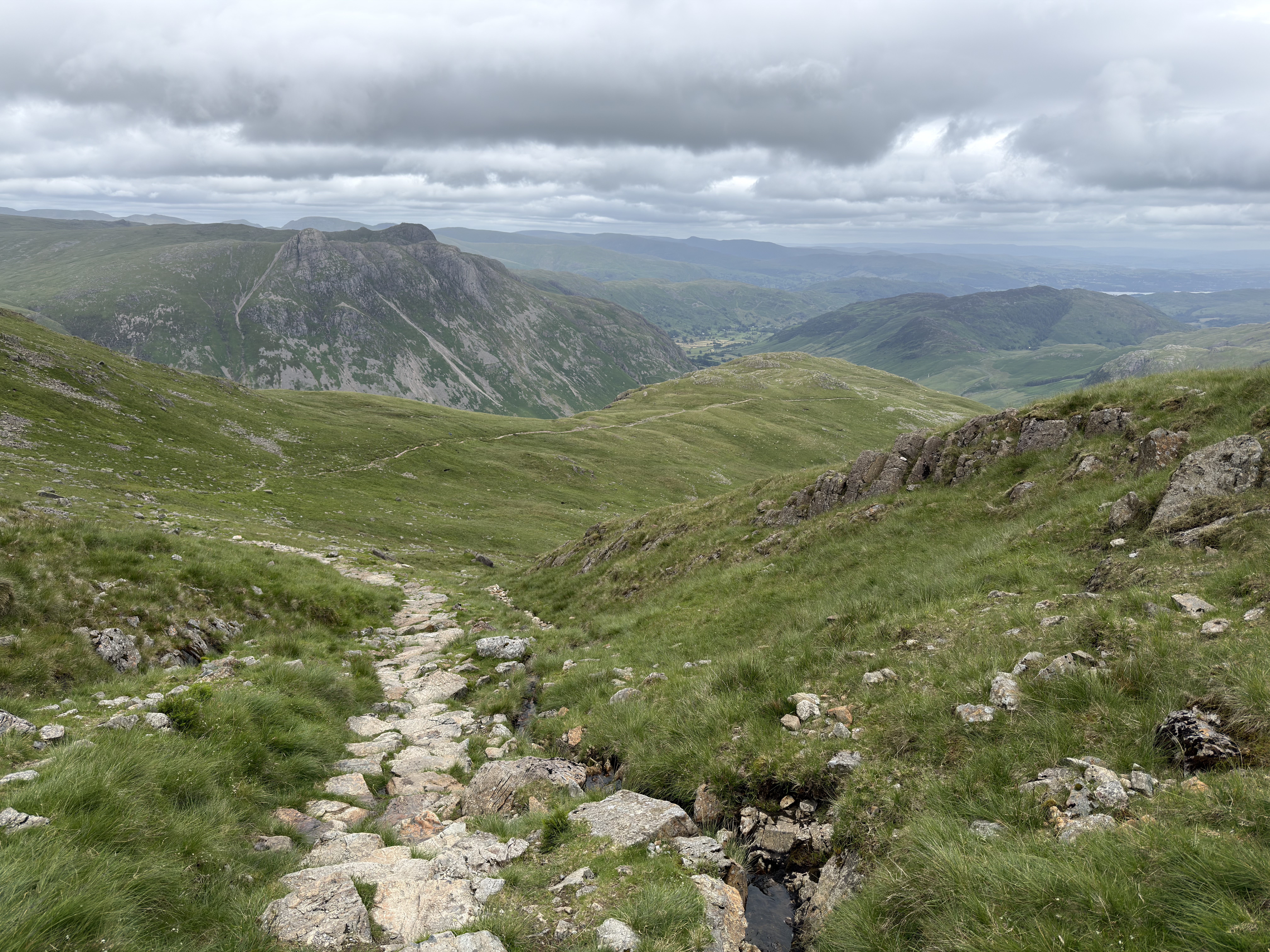
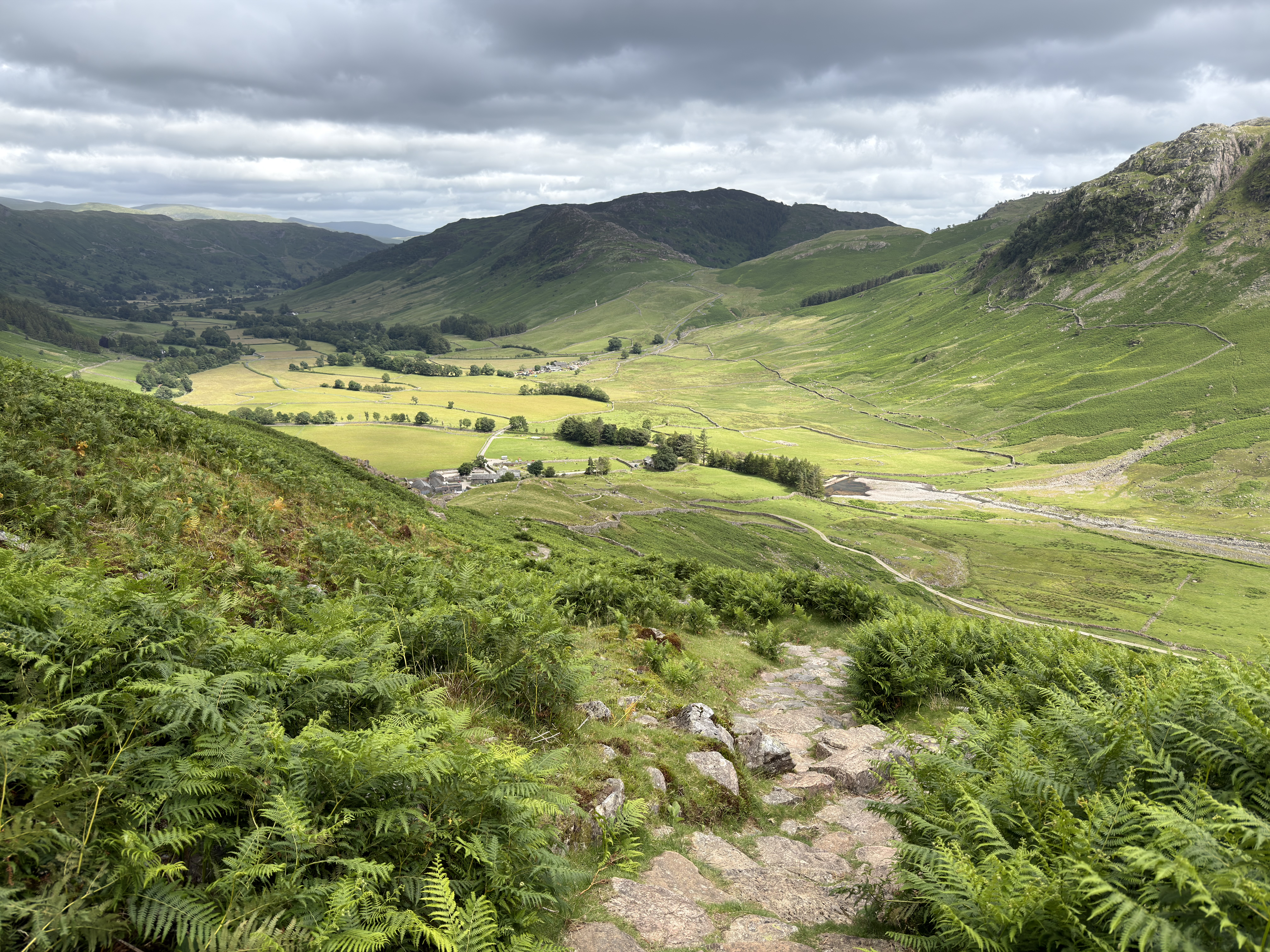
Suitably Zenned, from Three Tarns I head down The Band, the well known and well worn easy graded path down a long ridge leading back into Langdale. On the way the Langdale Pikes get higher and the valley floor gets nearer with each steady step.
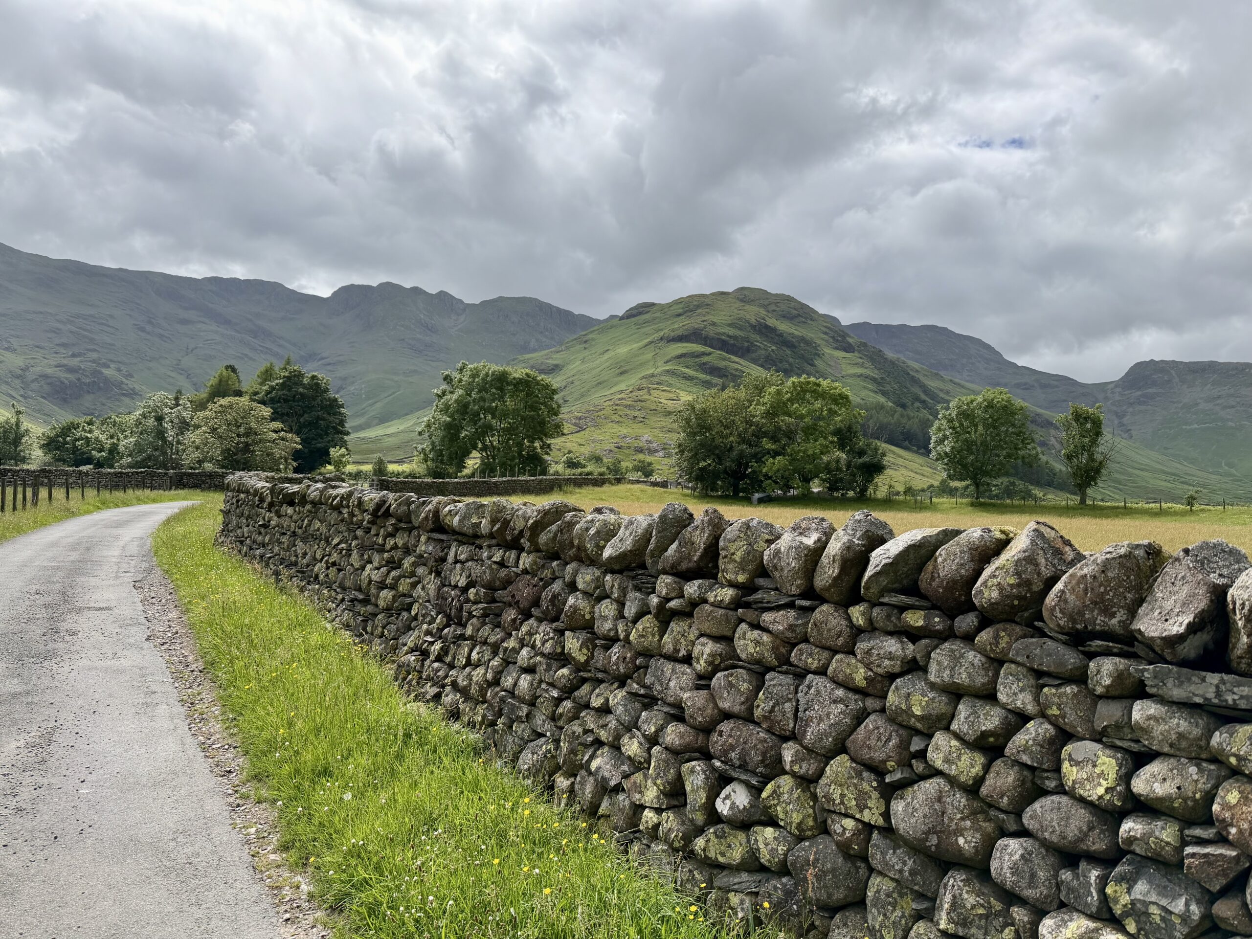
Looking back from the farm track near Old Dungeon Ghyll I get some nice retrospective views of the walk I have just completed. Crinkle Crags is now free from cloud, sunshine breaking through on its summit ridge. And no doubt the views from it will be as clear as crystal.
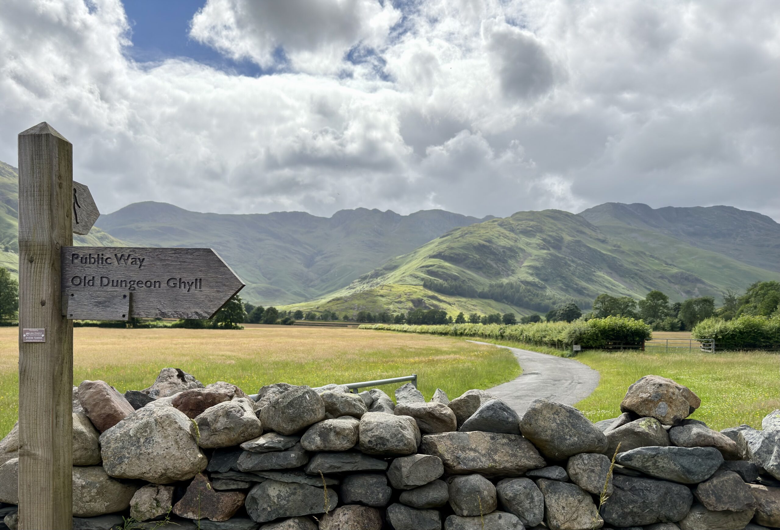
We don’t own and can’t control the mountains, we are merely guests in their home who would do well to always know our place.
To see a map of this walk with stats,geolocated pictures and a downloadable GPX of the route click ‘Learn more’ below
I love that walk, happy reminders… thank you!
Thanks Toby, glad to bring back some memories😀
I missed an opportunity this summer to go back to the Crinkles and Bowfell which was a but disappointing as it was my second favourite walk on my round. The descent off the band is a brilliant way off a mountain as well. Great to see photos of the place again though, especially those views down into Langdale
Thanks Steve, yes the Band is a good steady route and I’ll probably be going up it when I get round to doing Bowfell
Until your final view I couldn’t imagine how the crinkles would look. But now I can see the appeal in walking to them. Maggie
Thanks Maggie 😀
They are lovely
They are indeed, when I’m done, I may pay a return visit in clearer weather
Nice report. Clouds just skimming a top can add to the atmosphere.
Thanks Richard, I agree, just wish it was twenty feet higher!
Anything labelled “Bad Step” makes me pause when I’m hiking on my own at this age. Lovely first shot of the crags.
Thanks Tony, agreed!
When I was planning a road trip around the Lake District fells, I found names that sounded less like geological formations and more like characters from a children’s book, old pub names, or total nonsensical jargon. My favourite was Catbells and Gummer’s How. Crinkle Crags looks like a great hike for those who enjoy dramatic ridge lines, rewarding scenery, and a touch of adventure. Thanks for sharing, and have a good day 🙂 Aiva xx
Thank you Aiva, yes there are some unusual place names! Hope you have a lovely day 😍
A grand round. I’ve done something similar many times, but I’m not sure whether I have stood on all five Crinkles.
Thanks John, thinking about it now I wished I’d have diverted those twenty yards and visited the third crinkle
Gorgeous views, even with the clouds. Those stone paths would be a bit tricky to walk down?
Thanks Suzanne, yes a little slippy in the wet, I always use poles these days
A great walk and great photos Jim. Langdale is one of my favourite places. 👍👍😊
Thanks Mike, yes it’s a special place 😀
I love that you thought twice about the Bad Step, Jim. I suspect once is enough to ascend there. Shame about the mist but, as you point out, we don’t control the mountains. It was still a good day out xx
Thanks Jo 😀 I think the older I get the more cautious I am becoming, I’m trying to ‘future proof’ myself!
Good plan, Jim! xx
Well, that is one stunning walk. It brought back many happy memories of my recent few days in the Lake District. The views are breathtaking. Thanks, Jim. Mel
Thanks Mel 😀
A lovely slide show format, with great views😊
We also came across a few amusing names in Newfoundland. They must have had a lot of fun giving places names like that!
Thanks Christie, yes I wonder how and when these places got their names 😀
Amazing walk in a beautiful part of the Lake District.
Thank you Mél 😀
Gorgeous!
Thank you😀
I’d be delighted with that mist, but did you allow yourself to tick it off?
I’ll take this one Ruth! 😀 I did spend a fair amount of time on the summit and satisfied myself that I had got a view as the cloud swirled around the very top
Such a beautiful place to hike!
Thank you Beth, it certainly is 😀