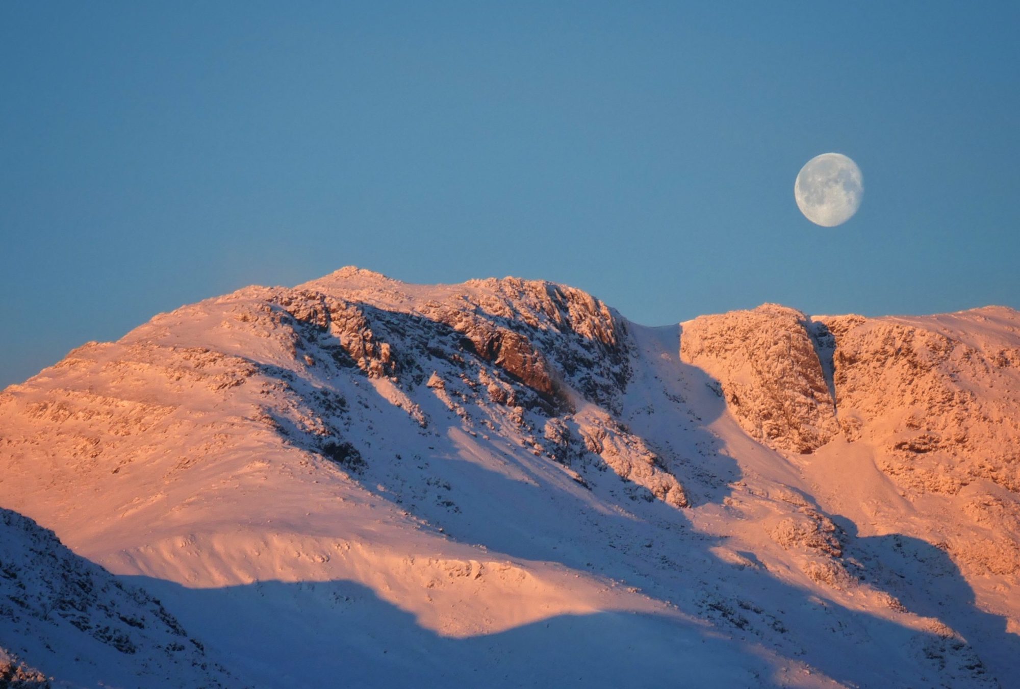
I arrive at the little hamlet of Sadgill at the far end of Longsleddale just before the sun sets and have the parking area to myself. This long, picturesque valley is situated right on the fringes of Lakeland. Remote, unfrequented and unspoiled there are none of the usual tourist trappings that attract thousands to the honey pots not that far away across the hills. No cafés or gift shops, no zip wires or yurts, no phone signal, just sheep and peace and quiet. And I’m pretty sure the residents like and want to keep it that way. Just before I turn in, I step out of the van and am greeted by total silence and a blackness I have rarely, if ever encountered in this country. Above a cloudless sky all the stars of the heavens were twinkling and the Milky Way stretched from one horizon to the other.

Next morning, I am up and out before any other cars arrive. It’s straight up from the start, the start literally being the gate outside the van door. The path heads steeply up through fields and then narrows through a rocky cleft as the summit of Great Howe is approached.


There are good views on the way up back along the length of Longsleddale and from the summit of Great Howe the track leading up to Gatesgarth pass can be seen heading up the valley through the fields and disappearing into the high ground.


From Great Howe the gradient eases and a flattish bit of ground is crossed that becomes boggy in places. The path is then followed up through some rock outcrops, across a stile and finally up and onto the summit of Grey Crag. Grey Crag is the most Easterly of the Wainwrights and to my mind, on what is a bit of a wild and windy morning it has more of a Pennine feel to it than a Lakeland one. The moorland of the Shap fells adds to the Pennine feel and the Northern Pennines themselves are clearly seen across the Eden valley.

Leaving Grey Crag I notice the prominent cairn on Harrop Pike, less than a Kilometre away and just one metre short of the summit I had just been on. Like Great Howe Wainwright seems to have decided against including these in his Pictorial Guides. Maybe he’d decided he’d had enough of the Far Eastern Fells to include them, maybe he didn’t like the look of them, we will never know but it reveals the subjective and personal nature of his 214. However, as my own personal aim and goal is to walk Wainwrights albeit subjective 214, I too leave Harrop Pike to the Nuttal, Birkett and Synge collectors of this world.

To avoid wet feet the best way to Tarn Crag is probably to try and follow the fence line and avoid the boggiest bit of Greycrag Tarn, which isn’t so much a tarn but a boggy hollow between the two tops. Once the ground starts to rise again the wet ground is left behind and soon I reach the cairn on Tarn Crag.


The cairn, a modest affair is somewhat overshadowed by a large stone survey pillar standing a short distance away. This pillar, similar to the one on Branstree (you can read about that walk Here) was put in place by Manchester Corporation when the Haweswater Aqueduct was built in the 1930’s. I get my monocular out and I can make out in the distance the pillar on the slopes of Branstree, two kilometres away across Mosedale.
And Mosedale is where I am heading next. The path drops off Tarn Crag northwards from the summit. The terrain once again is grassy with patches of bog which you only discover when your foot disappears into it. At the col the Mosedale to Gatesgarth bridleway is joined and a left turn takes me down and onto the main Gatesgarth pass track at a signpost and a sheepfold.


The Gatesgarth path is broad, well used and rocky. The weather has held after a mixed forecast and the raincoat has stayed in the pack. Heading back down to Sadgill I can see down the length of the (aptly named) long valley of Longsleddale and cloud shadows are drifting across the valley floor in the intermittent sunshine.


Waterfalls tumbling down the infant river Sprint can be heard and glimpsed over the dry stone wall bordering the track. It’s a pleasant end to the walk and when I get back to the van there are five or six cars parked up. By sundown though all the cars have gone and I have the place to myself once more. That evening an owl ‘twit twoo’s for about five minutes in the tree right next to me and after that, all is silent again in Longsleddale.
To Find All My Walks In The Far Eastern Fells Click Here
Route Map, Walk Stats, Geolocated Picture Gallery and 3D Flyover Video Below.
Click ‘Learn more’ on the map. Note: you won’t see the map if reading in WordPress reader but click on the little world at the top of the page to view it on the browser.


Nice post. Yet to do these two mainly due to concerns about parking at Sadgill (I’m not an early starter). Did start out from Shap summit once in the general direction of these but wasn’t feeling it (quagmire not helping)
It’s a long road along Longsleddale, aptly named!