

I’ve had company over the last couple of days. A Robin arrives regularly at the van door looking for food and then repays my benevolence by demanding that I get off its territory. He needn’t worry as I’ll be gone today and he’s fatter than when I arrived. The murk of yesterday has gone and I can see today’s walk from my parking spot. The long southern ridge leading up Steel Fell, the curve around the head of Greenburn leading to Calf Crag, Gibson Knott and finally Helm Crag all look inviting in the morning sunshine. The most dangerous part will be crossing the A591.


Once safely over the road I take the Town Head lane, cross Raise Beck and head up a private road to reach the open fellside. Several footpaths branch off here and I have a look at my return route, a nice grassy zig zag coming down off Helm Crag before turning my attention to the task at hand.


The long steep slope up Steel Fell is what might be described as a ‘route one’ path, pretty steep, pretty unrelenting and straight up to the top of the hill, no messing around.

I’m a steady as you go kind of walker, preferring to set a slow pace and keep moving without too much stop start, ‘pole pole’ (slowly slowly) walking as they say in Swahili. And it’s just the kind of path, grassy with an even gradient and not too many obstacles where steady upward progress can be made.

I always stop to take in the view and pictures though. Behind me Grasmere lake is starting to emerge around the side of Helm Crag and the rock tower on its summit, the Howitzer stands out on the skyline. In the valley all is green, lush and lovely.


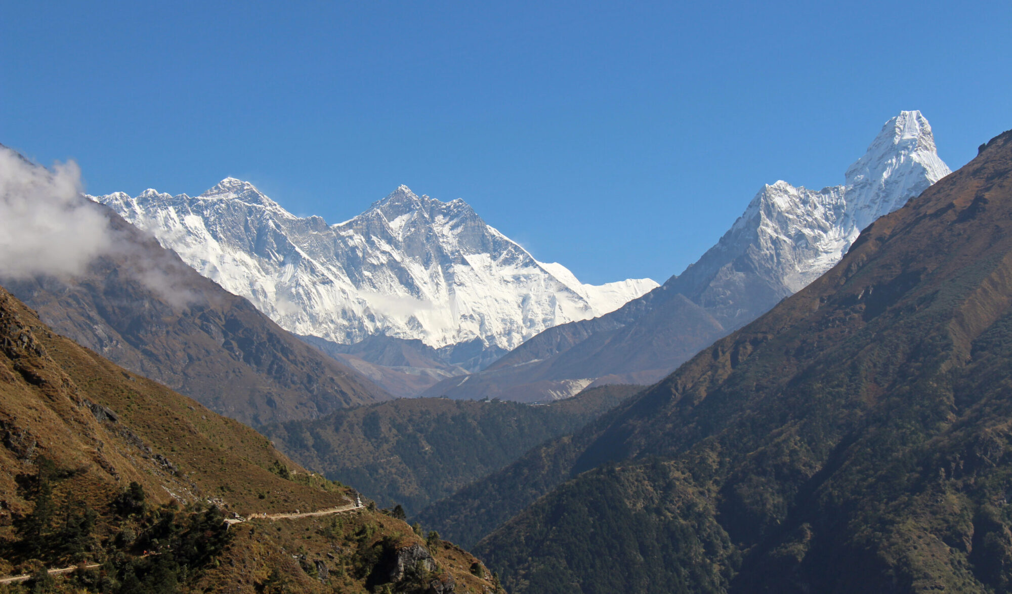
Before long I am standing on top of Steel Fell with views down to Thirlmere one way and Grasmere the other. A cairn of sorts, looking more like a neolithic burial mound, marks the summit but all around is grass and I sit down a little way from the top to admire the views of Thirlmere and the northern lakes.
It’s downhill for a while as I round the head of Greenburn on boggy ground. Greenburn is an attractive little place, a broad valley carpeted with patchwork green hues rising to the knobbly ridge that separates it from Far Easedale.


I am glad when the ground starts rising again and I leave the worst of the wet ground to reach the rocky crest of Calf Crag. A more respectable looking cairn adorns this summit which has an airy feel to it, dropping off steeply into Far Easedale. Steel Fell is now on the other side of the valley and the ridge line to Helm Crag stretches ahead.

I wish I could say that the ridge walk was a pleasant one, walking high above the valleys with little effort along a clearly defined and smooth path, hands in pockets and whistling a happy tune. Unfortunately the undulating rocky terrain interspersed with boggy flat ground and a number of those awkward four/five foot rock drops meant my attention and energy were spent watching where I was going rather than enjoying the scenery.

Having said that, it was dry, it was warm, the sun was shining and I am thankful that I am physically able to walk on these heights, even the bumpy, boggy ones. Count your blessings as my grandmother would say.


After a little tug uphill I arrive at Gibson Knott. Far Easedale below looks absolutely gorgeous. A curving bowl of patchwork brown and green with small copses of trees scattered about. Irregular shaped dry stone wall enclosures are laid out over the valley. Far Easedale Gill flows ribbon like down through cultivated farm fields and then into Grasmere lake which appears as a small patch of blue in otherwise sea of green. Far below me I can see the bridge at Stythwaite steps where I crossed yesterday and across the valley is Tarn Crag.


It’s only a short distance from Gibson Knott to Helm Crag. The path here is much better and there are good views of the hill on my approach set nicely against a picture postcard background of Grasmere and Loughrigg. Although the distance is short the difference is marked, like the difference between a beach in the Outer Hebrides and Blackpool Pleasure Beach.

Helm Crag, as Wainwright points out is one of Lakelands honey pot hills. Its location near Grasmere and the relatively easy climb to its summit, along with the draw of the ‘Lion and The Lamb’, being seen from the village means that many who would not otherwise think of climbing a hill are persuaded to tackle this one.

Consequently it’s busy with a fair cross section of society making the most of a dry and sunny afternoon. I have a wander and take pictures of the aforementioned Lion and The Lamb, two rock pinnacles, one big, one small overlooking the village. About a hundred metres away is another rock outcrop which I have already mentioned, ‘The Howitzer’. This also doubles up as ‘The Woman and the Organ’. If, like me you are wondering how these outcrops got their names, I have no idea except to think that it must have been someone with a vivid imagination.

I see not one but two babies, no more than six months old being carried along in baby backpacks by sweating dads. I read a while back about a couple who took their baby backpacking around India. Each to their own but that seems like a lot of hard work. Neither of my now adult children remember anything of the spectacularly extravagant and expensive holidays we took them on much before the ages of five or six. I think we’d have been better keeping them at home until they were perhaps say, twenty.


I leave Helm Crag by the way I arrived and drop down to a small col which leads down the grassy and pleasant zig zag path I had spied out before puffing up Steel Fell. From there I follow the lane back to the start and a waiting hungry Robin.
To Find All My Walks In The Central Fells Click Here
Route Map, Walk Stats, Geolocated Pictures and 3D Flyover Video Below.
Click ‘Learn more’ on the map. Note: you won’t see this if reading in WordPress reader but click on the little world at the top of the page to view it on the browser.
One of my favourite circuits too. Pleased to see you had some good weather.
Thanks John, yes far better than the day before
Your grandmother was a wise woman 🥰
Awesome landscapes, Jim!!
Thank you Hanna 😍
Such beautiful photos and yet another wonderful hike, Jim, with breathtaking views and a memorable hillwalking experience. Thanks for sharing, and have a wonderful day 🙂 Aiva xx
Thank you Aiva, it was a lovely hike. 😀x
🥰🥰🥰
So many lovely views on this walk Jim. Maggie
Thank you Maggie, it was nice to have a dry day after the rain 😀
Some work but well worth it by the look of it
Thank you Ruth, yes great views on this day 😀
Well Jim, you may have uncovered an alcohol problem I didn’t know I had, as I automatically thought ‘The Lion and the Lamb’ was a lovely wee pub you’d found en route. Despite that not being the case, I really enjoyed doing your walk in my imagination.
Audrey
Thank you Aud, You’ll have to find your nearest ‘The Lion and the Lamb’ now!
Your grandmother was a wise woman. Unfortunately, most of the tramps around here need to carefully walked as tree roots, stones etc can make some tracks difficult to view the scenery. It looked a technical though enjoyable walk. Well done, Jim.
Thank you Suzanne, yes some paths are easier than others, we have plenty of ‘tree root, trip up’ paths here 😀
That is a nice round. Helm Crag was my first ever mountain, my father took me up there when I was 7!
Greenburn looks lovely, must go up that way sometime.
Thank you Richard, yes Greenburn is an attractive looking valley and there is a decent path up I think.
A fine walk. You mention backpacks for small children. I recall a hike in the Lake District when my wife stepped into a bog, pitched forward, and our young daughter was launched out of the top of the backpack carrier on her back, landing on the soft moss. 🙂
Thanks Tony, that sounds exciting but also fortunate it was moss! I think I did have one when my kids were small but didn’t use it much, and didn’t take the kids up mountains in it
Looks a fine walk and beautiful photos too. It is a long time since I was up that way – I must go again sometime 🙂
Thanks James, Lakeland is lovely 😀
The landscape looks fantastic! I really need to add one of these beautiful areas on my bucket list❤️
Happy Monday!
Thanks Christie, the English Lake District is lovely 😀
Nice one ☺️. I am looking forward to going back for long walk once baby is a bit older and we don’t have to carry him 😂. Yes they are heavy.
Looks very relaxing too!